From Carbon Cycle to Satellite Products – The ESA BIOMASS Mission
Open to access this content
Open to access this content
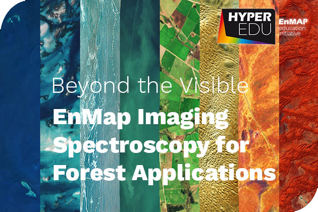
This resource provides a thorough introduction to the application of imaging spectroscopy in a Forest context. Besides imparting the fundamentals of imaging spectroscopy specifically for…
Introduction Listen to the Podcast The High Resolution Wide Swath (HRWS) mission represents a key milestone in the advancement of Germany’s satellite-based radar technology. This…

Introduction Listen to the Podcast In modern military and defense operations, having reliable and up-to-date intelligence is essential for making informed decisions. The complexity and…

Introduction Listen to the Podcast Maritime surveillance plays a crucial role in ensuring global security, monitoring environmental changes, and regulating economic activities. Synthetic Aperture Radar…
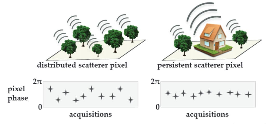
Introduction Listen to the Podcast Persistent Scatterer Interferometry (PSInSAR) is an advanced radar remote sensing technique that utilizes Synthetic Aperture Radar (SAR) data to detect…

Use of X-Band Microwave Radiation in Air Traffic Control Introduction Air traffic control (ATC) is a critical component of modern aviation, ensuring the safe and…

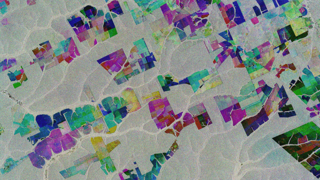
Accurate crop classification is essential for effective agricultural monitoring, food security management, and policymaking. Radar remote sensing has become a key tool in this context,…

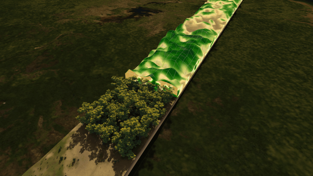
Vegetation Structure and Biomass Estimation Using Multi-Band Radar Remote Sensing Introduction Listen to the Podcast Estimating vegetation structure and biomass is crucial for understanding global…

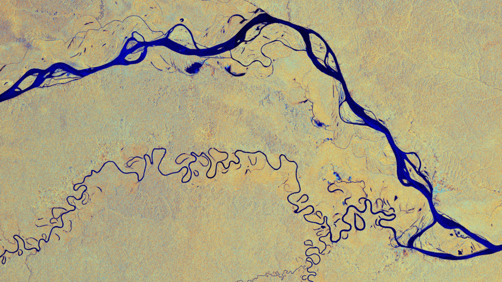
Radar remote sensing is an essential tool in Earth observation, enabling the analysis of surface and subsurface features using different radar wavelengths. The combination of…

Introduction Listen to the Podcast The ESA BIOMASS mission, planned for launch in the coming years, is a landmark Earth observation mission aimed at quantifying…
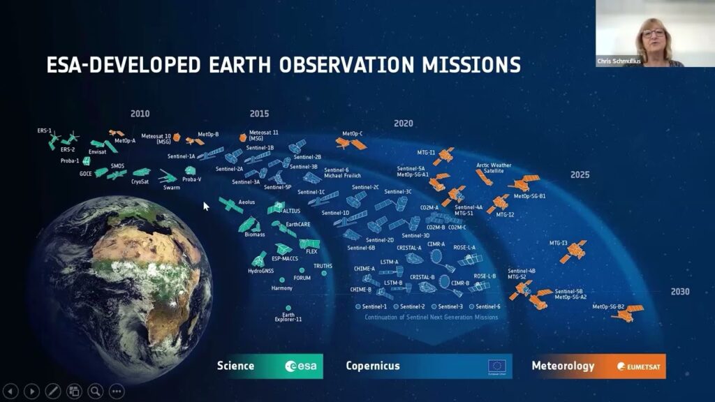
1. Introduction Listen to the Podcast The demand for accurate Earth observation data is steadily increasing. Such data are essential for monitoring environmental changes, managing…
Please confirm you want to block this member.
You will no longer be able to:
Please allow a few minutes for this process to complete.