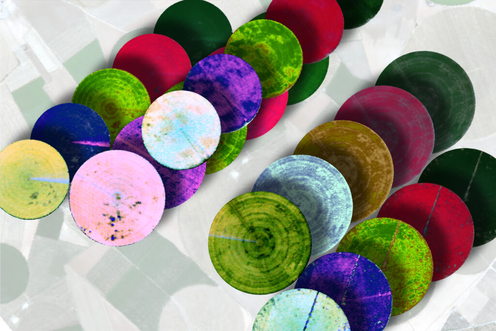
This unit gives an overview on agriculture-related hyperspectral satellite data usage. The challenges a growing world population faces in regard to agriculture and the provisioning of sufficient food, fiber and energy from limited resources are addressed and the potential of how spaceborne imaging spectroscopy offers highly relevant data for monitoring vegetation statuses and dynamics, from global to field scale, is introduced. A more general introduction on (sustainable) agriculture and climate change is followed by an in-depth specification of satellite imaging spectroscopy for agriculture and relevant physiological traits, as well as crop characteristics. Lastly, some specific applications and future challenges are named.
This unit was originally published in June 2021. The revised version is accessible since February 2023. Being familiar with the content of the unit “Retrieval approaches of vegetation traits from imaging spectroscopy data” is beneficial. Complementary to this unit, the tutorial “Interactive Visualization of Vegetation Reflectance Models (IVVRM)” offers hands-on training with real-life data, improving the understanding of the interaction between vegetation and radiation from an application-based approach. Additional information on this topic can be found in HYPERedu’s Short MOOC “Beyond the Visible – Imaging Spectroscopy for Agricultural Applications”.
How to cite this slide collection: K. Berger, M. Weiss., S. Steinhauser, J. Verrelst, C. Atzberger, G. Tagliabue, T. Hank, M. Wocher, T. Kuester, S. Foerster (2021). Imaging Spectroscopy of Agricultural Systems – Overview of agricultural application fields, requirements and quantifiable properties in the context of hyperspectral satellites. HYPERedu, EnMAP education initiative, LMU Munich; originally published May 2021, revised February 2023.
Please help us to further improve the hyperspectral resources and send us your feedback to hyperedu@eo-college.org




Responses