
What is the global stock take and how can we measure carbon emissions from space, what should you look for when selecting a land cover dataset, and how does land use policy impact our land and can these changes be seen and quantified using remote sensing methods? These and more questions will be answered in the sequence of lessons which are part the ‘People, Land, & Sustainability’ MOOC. This course deals with the transformation caused by humans across the globe and how we quantify these change with the means of earth observation.
In the next lessons, you will learn about the available land cover datasets, what to consider when using them, and how they can help you. You will learn the steps required to acquire carbon data and how to deal with inaccuracies, and why this is important on a national level. You will delve into the problem of land ownership in developing countries and how remote sensing data can be used to detect changes in land tenure and potential land grabbing. Further, you will gain a better understanding of the processes behind land degradation and how this can be monitored to be consequently reported as part of the United Nations Sustainable Development Goals.
In the hands-on component of these lessons, you will be doing the following:
- Land Cover Data & Uses: Create land cover maps for various applications including creating a discrete land cover map, for a forest monitoring application, and for land cover change monitoring.
- Land Degradation: Quantify extents of land degradation in the Free State, South Africa.
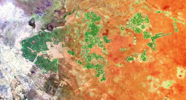
- Carbon Accounting: Estimate carbon emissions for an area in Tanzania.
- Land Ownership and Management: Use changes in land cover as an indicator for possible changes in land ownership in Brazil and Simbabwe.
4 Topics
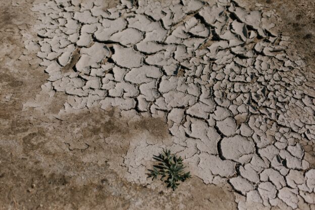
Land Degradation
Learning objectives of this topic Understand how land degradation can be defined. Identify key components, which affect land degradation. Understand…
5 Topics
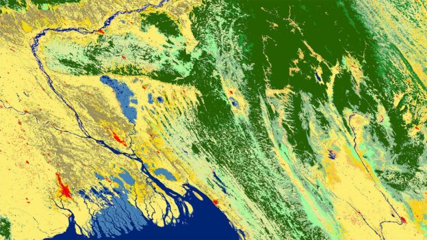
Land Cover Data & Uses
Learning objectives of this topic Understand key aspects of land cover maps Be able to identify the most suitable land…
5 Topics
Carbon Accounting
Introduction Learning objectives of this lesson Explain the use of EO data for estimating and reporting carbon emissions. Derive activity…
5 Topics
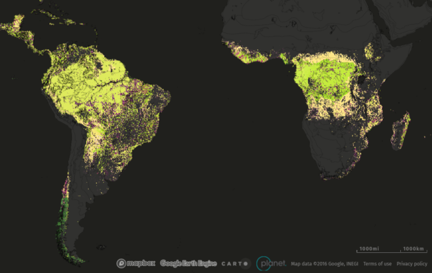
Land Ownership and Management
Learning objectives of this topic Remote sensing principles Remote sensing acquisition constellation History of remote sensing Platforms of remote sensing…
Note: you do not have to take the lessons in any particular order.
Related courses
Funded by
Project partners


Course Content
About Instructor

Not Enrolled
Course Includes
- 4 Lessons
- 19 Topics
- 4 Quizzes
- Course Certificate
Login
Accessing this course requires a login. Please enter your credentials below!