Welcome to the ‘Hazards and Disasters’ online courses. In the three MOOCs which are part of it, we will take a closer look at how remote sensing can answer essential questions related to the emergency response that is needed during hazardous events. Thus, disaster management heavily relies on remotely sensed data and their prompt processing in order to support decisions that can a) estimate the extent of a (natural) disaster and b) save lives by scientifically justifiable choices.
In the three lessons of this course, we will present different applications of remotely sensed data for disaster monitoring to you. At first, we will take a look at droughts, then dive into mapping flood extents using an interactive cloud-based approach before ending our course with the monitoring of fire hazards.
In the lessons listed below, you will be doing the following:
- Droughts: Monitor drought hazard and drought impact in South Africa.
Instructors: Dr. Valerie Graw and Torben Dedring; Ruhr-University Bochum - Floods: Estimation of the extent of an extreme flood event in Iran.
Instructors: Kai Heckel, Daniel Thiex, Jonas Eberle & Jannik Jännichen; EOS Jena, Sinergise, Jonas Eberle – Web & Software-Development & Friedrich Schiller University Jena - Fires: Assess fire intensity and burn severity in Bolivia.
Instructor: Dr. Valerie Graw; Ruhr- University Bochum
3 Topics
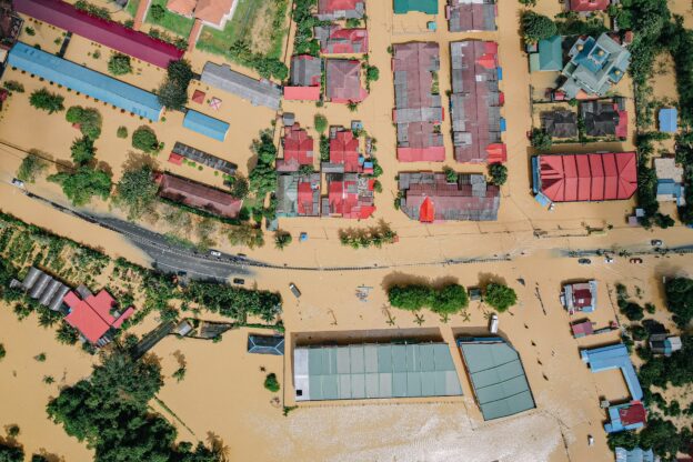
Floods
Learning objectives of this topic Familiarize yourself with the problem of flood mapping. Understand the relation between remote sensing imagery…
3 Topics
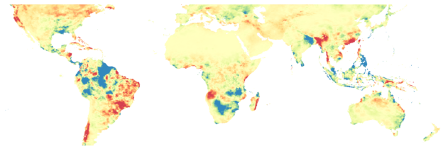
Droughts
Learning objectives of this topic Understand the concept of drought and drought risk. Identify drought events. Monitor drought hazard and…
2 Topics
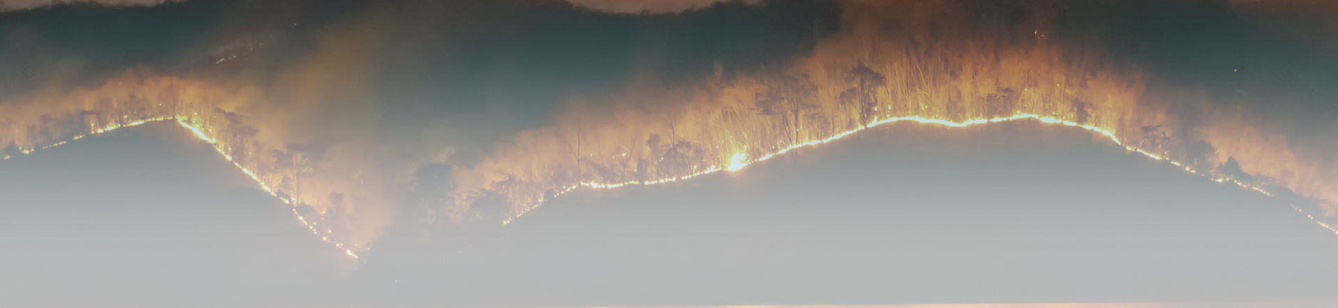
Fires
Learning objectives of this topic Understand how remote sensing data can be used to monitor wildfires Learn how to distinguish…
Note: You do not have to take the lessons in any particular order.
Related courses


Funded by
Project partners


Course Content
About Instructor

Not Enrolled
Course Includes
- 3 Lessons
- 8 Topics
- 3 Quizzes
- Course Certificate
Login
Accessing this course requires a login. Please enter your credentials below!