From MAAP to ASCEND
ESA’s Biomass mission is a major step in monitoring global forests. It’s the first satellite to use P-band synthetic aperture radar (SAR) for detailed forest biomass measurement. But Biomass…
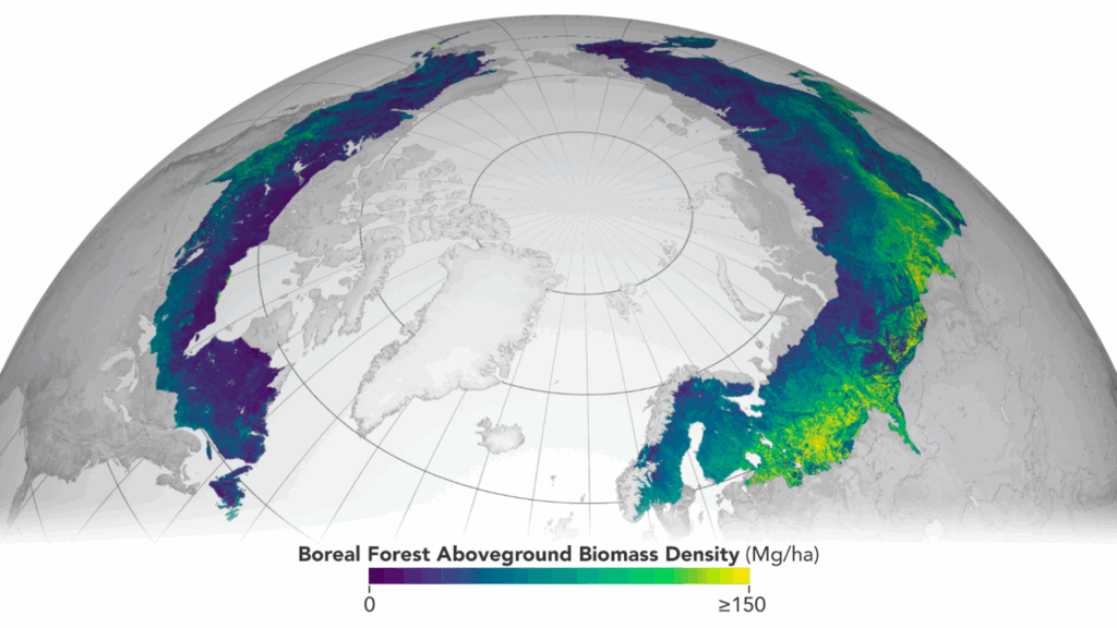
ESA’s Biomass mission is a major step in monitoring global forests. It’s the first satellite to use P-band synthetic aperture radar (SAR) for detailed forest biomass measurement. But Biomass…
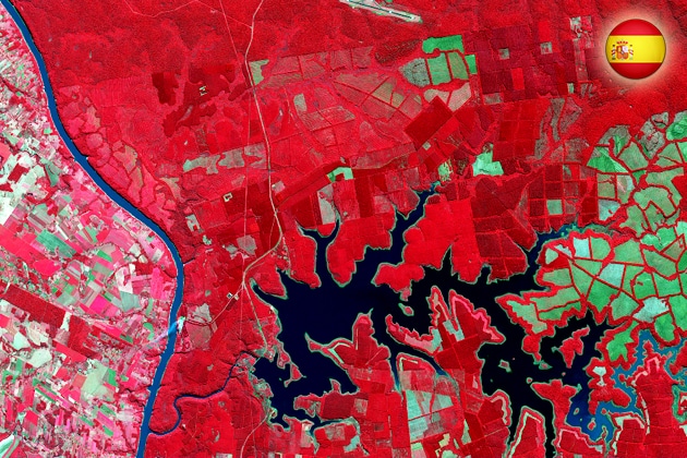
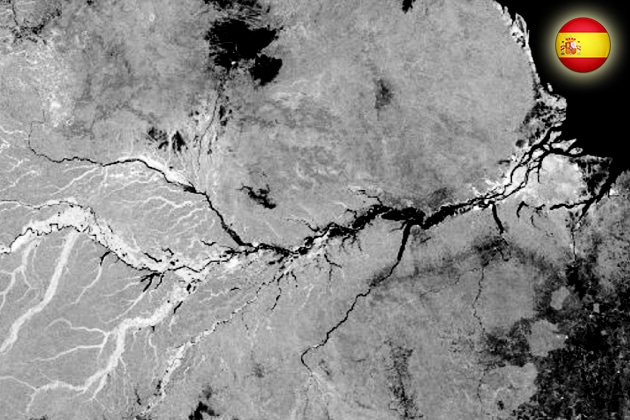
Importance of Cal/Val Activities Listen to the Podcast Calibration and validation (Cal/Val) are critical components in the lifecycle of Earth observation satellites, ensuring that sensor…
Transforming Remote Sensing Through AI Artificial Intelligence (AI), particularly deep learning, is revolutionizing remote sensing by dramatically improving data processing capabilities. Convolutional Neural Networks (CNNs)…

Listen to the Podcast Overview The integration of Synthetic Aperture Radar (SAR) with drones marks a transformative advancement in Earth observation and remote sensing. Traditionally,…
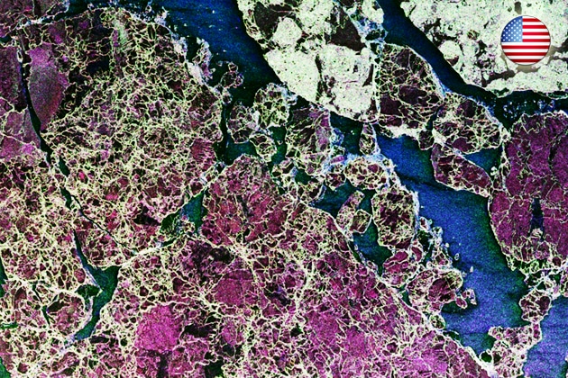
Introduction The Advanced Land Observing Satellite (ALOS) program, developed by the Japan Aerospace Exploration Agency (JAXA), is one of Japan’s most important contributions to global…
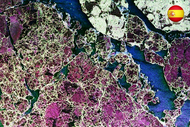
Introduction The SAOCOM program (Satélite Argentino de Observación Con Microondas) is Argentina’s leading Earth observation initiative, managed by its national space agency, CONAE (Comisión Nacional…
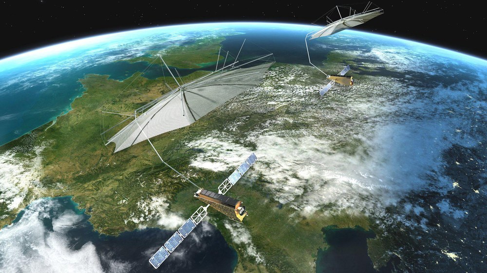
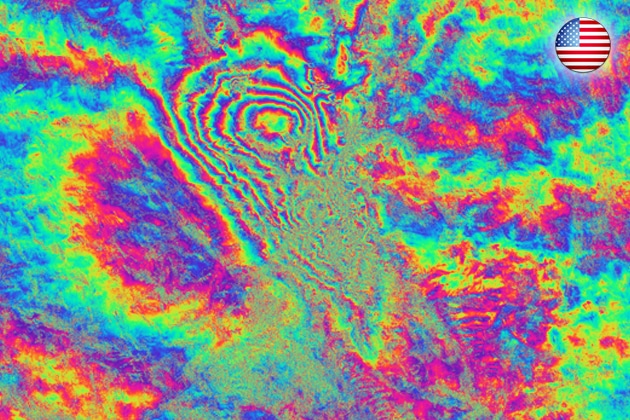
Introduction The Tandem-L mission is an ambitious Earth observation project led by the German Aerospace Center (DLR). It aims to revolutionize our ability to observe…
In these tutorials, you learn how to handle large-scale datasets in the Julia language using the EarthDataLab.jl package and how to map deforestations with the…
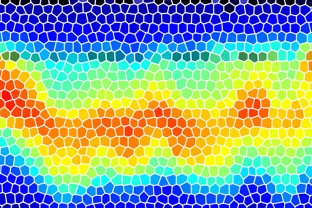
The gross exchange of carbon between the land surface and the atmosphere is the largest flux within the global carbon cycle. Biomass at the Earth’s…

Biomass is a crucial parameter in the estimation and quantification of the global carbon cycle. In this lesson the estimation of above ground biomass from…
This presentation tells the story of the evolution of Radar technology from the early days of research on electromagnetic waves to the development of the…
This is an introduction into the classification of land cover and land use from Earth observation data. The presentation includes: The material is valid for…
This presentation is part of a four-part series on the basics on Synthetic Aperture Radar. Learning Objectives: Brief introduction to polarimetry and familiarize students with…
Esta presentación es parte de una serie de cuatro tomos sobre los conceptos básicos del Radar de Apertura Sintética. El objetivo es darles una introducción…
This presentation is part of a four-part series on the basics on Synthetic Aperture Radar. Learning Objectives: Brief introduction to polarimetry and familiarize students with…

Esta presentación es parte de una serie de cuatro tomos sobre los conceptos básicos del Radar de Apertura Sintética. Al finalizar esta presentación los participantes…
This presentation is part of a four-part series on the basics on Synthetic Aperture Radar. By the end of this presentation, you will be able…
Esta presentación es parte de una serie de cuatro tomos sobre los conceptos básicos del Radar de Apertura Sintética. Al finalizar esta presentación los participantes…

This presentation is part of a four-part series on the basics on Synthetic Aperture Radar. Learning Objectives: Understand Sentinel Data Perform image preprocessing Analyze SAR…
Esta presentación es parte de una serie de cuatro tomos sobre los conceptos básicos del Radar de Apertura Sintética. Al finalizar esta presentación los participantes…
The SAR Handbook: Comprehensive Methodologies for Forest Monitoring and Biomass Estimation is the culmination of a two-year collaboration between NASA SERVIR and SilvaCarbon. Five trainings,…
What is SNAP? ESA’s Sentinel Application Platform (SNAP) is a set of toolboxes, developed for the processing and analysis of Earth observation data. This software…
This is an interactive Python tutorial including a Jupyter Notebook. In this tutorial you will learn how to process and analyse tomographic SAR data.
The module SAR Tomography introduces the advanced technique of combining multiple radar images from several viewing angles into a new dimension of information. Although tomogoraphic…
Please confirm you want to block this member.
You will no longer be able to:
Please allow a few minutes for this process to complete.