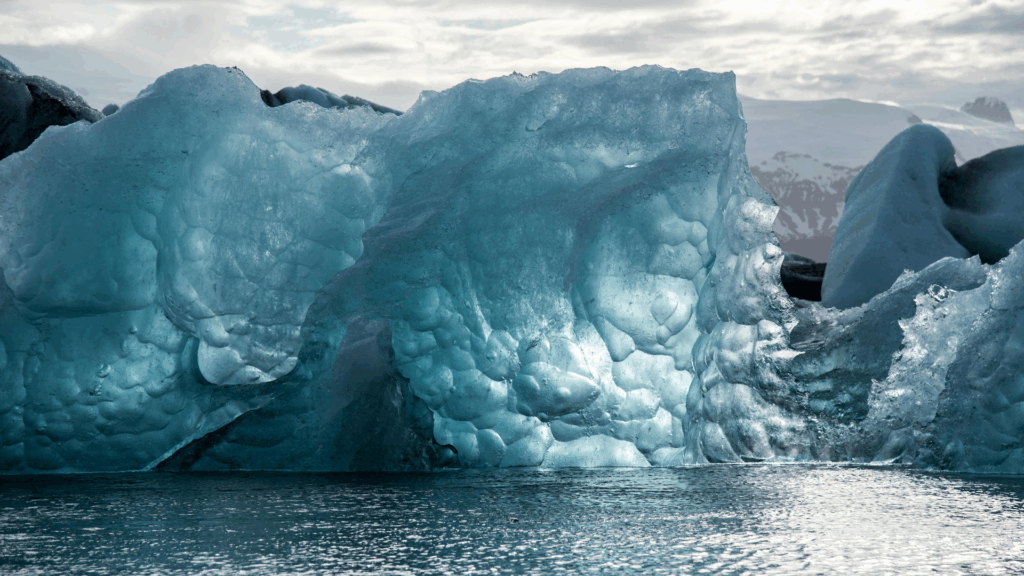
P-band for measuring glacier and ice sheet velocities
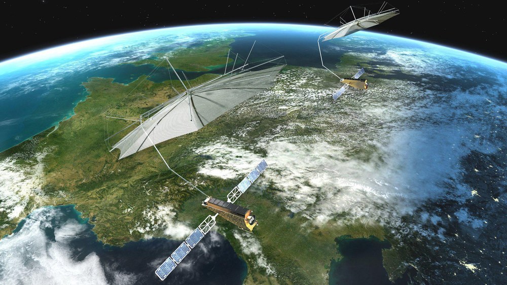
The ESA Biomass Mission and Its Role in Measuring Glacier and Ice-Sheet Velocities Listen to the Podcast The European Space Agency (ESA) Biomass mission is…
The ESA Biomass Mission and Its Role in Measuring Glacier and Ice-Sheet Velocities Listen to the Podcast The European Space Agency (ESA) Biomass mission is…
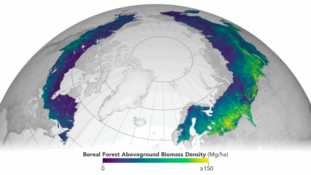
ESA’s Biomass mission is a major step in monitoring global forests. It’s the first satellite to use P-band synthetic aperture radar (SAR) for detailed forest biomass measurement. But Biomass…
Transforming Remote Sensing Through AI Artificial Intelligence (AI), particularly deep learning, is revolutionizing remote sensing by dramatically improving data processing capabilities. Convolutional Neural Networks (CNNs)…
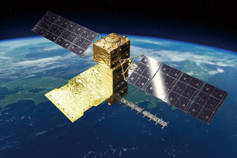
Introduction The Advanced Land Observing Satellite (ALOS) program, developed by the Japan Aerospace Exploration Agency (JAXA), is one of Japan’s most important contributions to global…
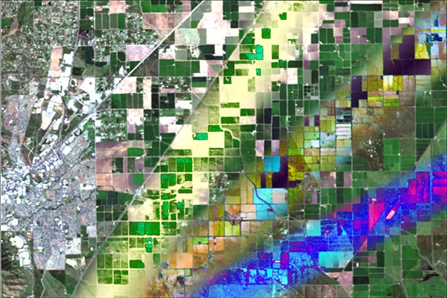
Introduction The SAOCOM program (Satélite Argentino de Observación Con Microondas) is Argentina’s leading Earth observation initiative, managed by its national space agency, CONAE (Comisión Nacional…
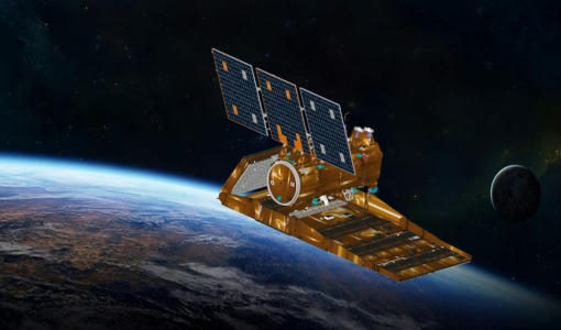
Introduction The Tandem-L mission is an ambitious Earth observation project led by the German Aerospace Center (DLR). It aims to revolutionize our ability to observe…
Open to access this content
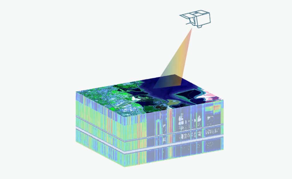
This resource provides a general introduction to the principles of hyperspectral image preprocessing and how this workflow is reflected in EnMAP products. Furthermore, the course…
This unit introduces the topic water optics and water colour remote sensing. We start with an introduction on the importance of remote sensing for aquatic…
In these tutorials, you learn how to handle large-scale datasets in the Julia language using the EarthDataLab.jl package and how to map deforestations with the…
The gross exchange of carbon between the land surface and the atmosphere is the largest flux within the global carbon cycle. Biomass at the Earth’s…
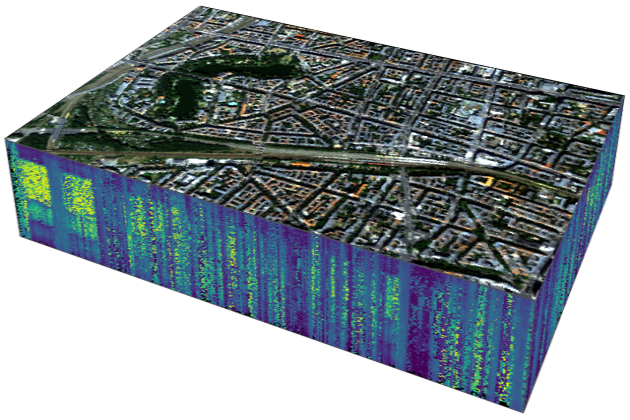
This unit presents the capabilities of imaging spectroscopy (IS) for urban mapping. A brief introduction to urban mapping is followed by the basics of IS…
This unit is one of the basic lectures provided by HYPERedu and introduces the physical basics and scientific requirements defining sensor technology, the principles of…
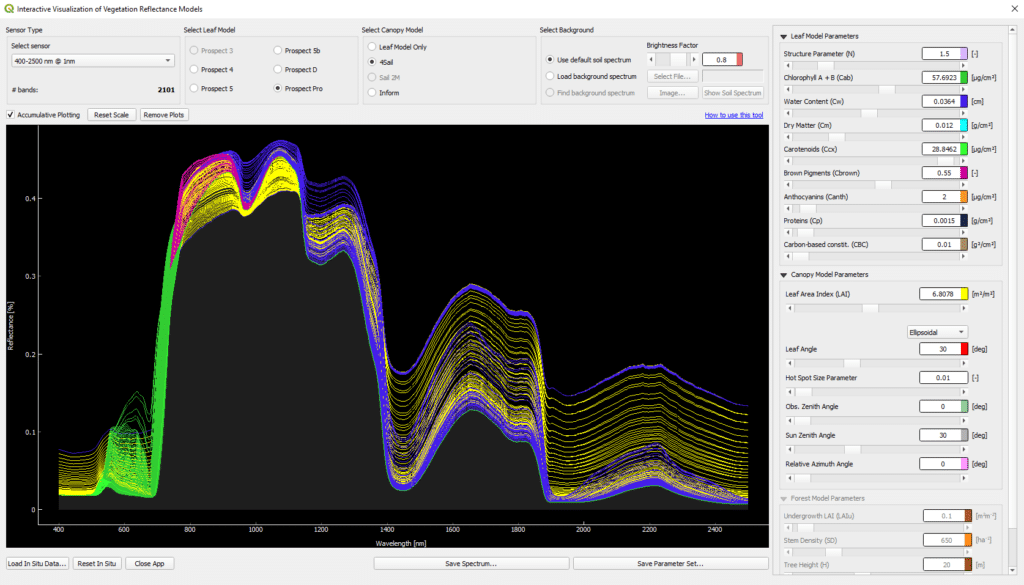
This tutorial introduces the Interactive Visualization of Vegetation Reflectance Models (IVVRM) tool, which is an interactive reflectance modeling setting, focusing on the PROSPECT + SAIL…
This unit gives an overview on agriculture-related hyperspectral satellite data usage. The challenges a growing world population faces in regard to agriculture and the provisioning…
Introduction into the principles and applications of radar remote sensing.

Biomass is a crucial parameter in the estimation and quantification of the global carbon cycle. In this lesson the estimation of above ground biomass from…
Open to access this content
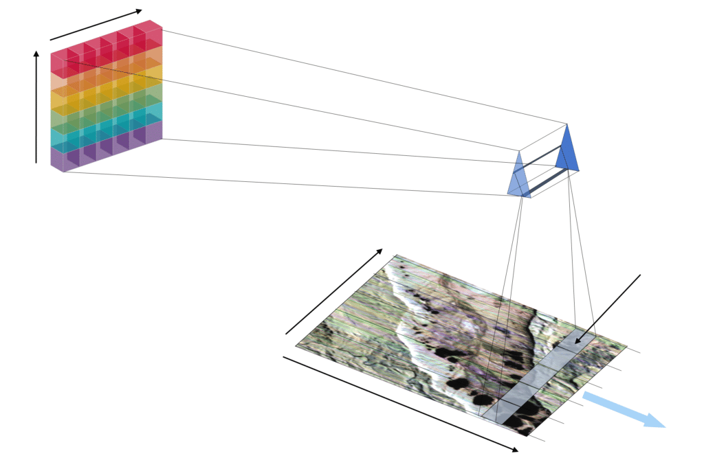
This unit is one of the basic lectures offered by HYPERedu and introduces the theoretical process chain of sensor forward simulation. In particular, the individual…
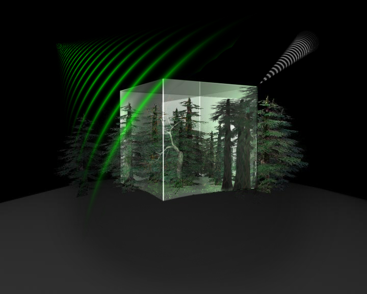
This unit introduces the basics of Forest Imaging Spectroscopy. Firstly, the spectral characteristics of vegetation on leaf and canopy level are shown and explained using…
This unit focusses on quantification regression analysis and RTMs. A short introduction to the radiance regime of vegetation is followed by an overview on retrieval…
Please confirm you want to block this member.
You will no longer be able to:
Please allow a few minutes for this process to complete.