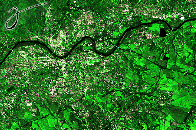
Large-scale EO data handling
In these tutorials, you learn how to handle large-scale datasets in the Julia language using the EarthDataLab.jl package and how to map deforestations with the…
In these tutorials, you learn how to handle large-scale datasets in the Julia language using the EarthDataLab.jl package and how to map deforestations with the…
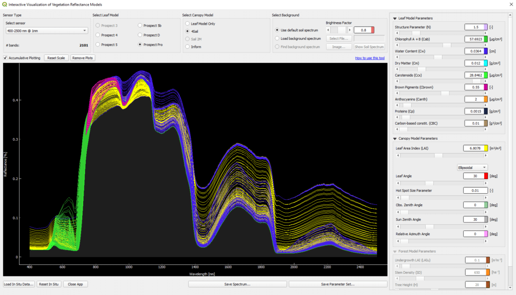
This tutorial introduces the Interactive Visualization of Vegetation Reflectance Models (IVVRM) tool, which is an interactive reflectance modeling setting, focusing on the PROSPECT + SAIL…
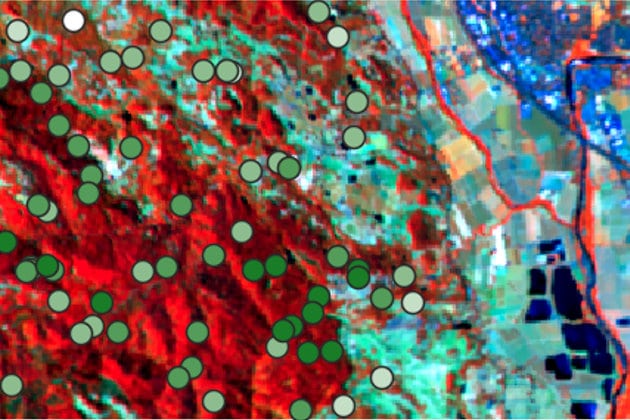
This tutorial focusses on the possibilities to map forest Aboveground Biomass (AGB) from simulated EnMAP imagery. Practical hands-on training for working with the EnMAP-Box, including…
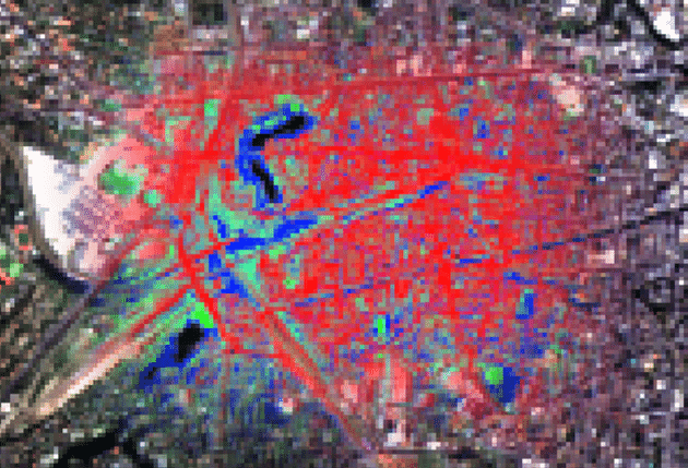
This tutorial focuses on regression-based unmixing of urban land cover from simulated EnMAP imagery. The slide collection provides the theoretical foundation for the tutorial, including…
This presentation is part of a four-part series on the basics on Synthetic Aperture Radar. Learning Objectives: Understand Sentinel Data Perform image preprocessing Analyze SAR…
What is SNAP? ESA’s Sentinel Application Platform (SNAP) is a set of toolboxes, developed for the processing and analysis of Earth observation data. This software…
This is an interactive Python tutorial including a Jupyter Notebook. In this tutorial you will learn how to process and analyse tomographic SAR data.
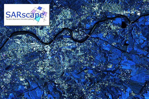
In this tutorial you can learn how to get started with SARscape, beginning with a brief description and order instructions. You will learn how to…
In this tutorial you can learn how to get started with GAMMA, beginning with a brief description and order instructions. You will learn how to…
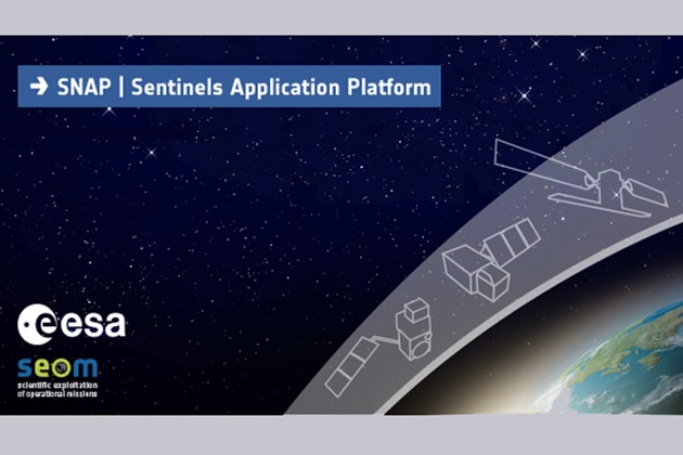
In this tutorial you can learn how to get started with SNAP, beginning with a brief description and download instructions. You will learn how to…
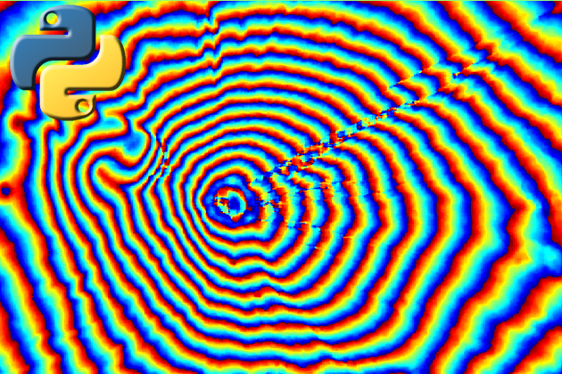
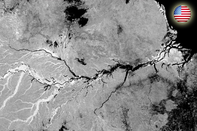
SAR interferometry is widely used for the generation of digital elevation models (DEM). The topographic information is derived by exploiting the phase differences of the…
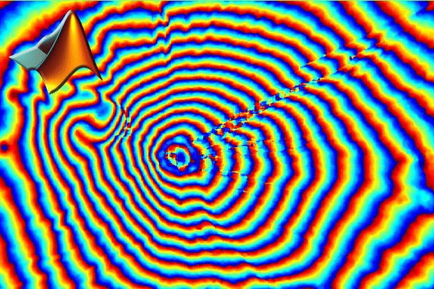
SAR interferometry is widely used for the generation of digital elevation models (DEM). The topographic information is derived by exploiting the phase differences of coherent…

In this tutorial you learn how to monitor the behavior of the Earth’s surface due to underground hard coal mining activities with SAR data. The…
Raw Synthetic Aperture Radar (SAR) data in its uncompressed form has to be focused in order to be used for further processing steps, e.g. the…
Raw Synthetic Aperture Radar (SAR) data in its uncompressed form has to be focused in order to be used for further processing steps, e.g. the…
This tutorial will give insight into soil moisture retrieval from ASCAT scatterometer data, based on multi-temporal scatterometer data and change detection. Learn how to download…
This tutorial will show you the basics of SAR data processing within the program environment of “SNAP”. These basics of SAR data processing include: generation…
Please confirm you want to block this member.
You will no longer be able to:
Please allow a few minutes for this process to complete.