

6. In-situ land Surveying and Satellite or Aerial Imaging

In-person land surveying and satellite-based mapping each have unique advantages and disadvantages regarding logistics, cost, and error and uncertainty.
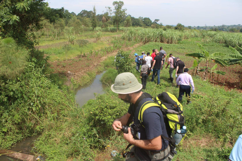
Advantages: This method provides highly accurate and detailed data, as surveyors can measure and record specific physical features directly.
It is especially useful for small areas requiring precise measurements, such as property boundaries and infrastructure mapping.
In-person land surveying allows one to gain a comprehensive understanding of an area, for example by measuring multiple characteristics, such as vegetation composition, or chemical and physical soil and water properties.
Disadvantages: It is logistically challenging, requiring significant time, effort, and manpower, often in difficult-to-access locations.
Costs can be high due to the need for specialized equipment and labor.
Additionally, the data collected is limited to the surveyed area, making it less efficient for large-scale or frequent monitoring.
Advantages: These remote sensing methods cover large areas quickly and repeatedly, providing comprehensive data over various spatial and temporal scales.
They are logistically simpler, as they do not require physical presence on the ground.
The cost per unit area is typically lower, especially for large-scale studies.
Moreover, the ability to frequently capture images allows for ongoing monitoring and trend analysis.
Disadvantages: While advancements in technology have improved accuracy, these methods can still be affected by factors like cloud cover, image resolution, and the need for ground reference data to validate interpretations.
Errors and uncertainties may arise from misclassification or limitations in sensor capabilities.
The initial investment in satellite data or aerial imagery can also be significant, though costs have been decreasing over time. Many important Earth observing missions provide imagery free of charge.
(Interactive true-color time-lapse of Sentinel-2 satellite imagery, showing land-cover change over time.)
In summary, in-person land surveying excels in precision and detail for small areas, despite higher costs and logistical challenges. In contrast, satellite mapping offers broader coverage and efficiency at a lower per-unit area cost, though it may involve higher initial expenses and potential uncertainties in data interpretation.