


Lesson Progress
0% Complete
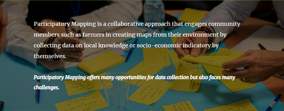
1. Participatory mapping integrates local knowledge with spatial data, making maps more context-sensitive and inclusive.
2. It empowers communities by involving them directly in decision-making processes related to land use, resource management, and development planning.
3. In agriculture and environmental management, participatory mapping bridges the gap between traditional practices and modern geospatial technologies, leading to more sustainable and accepted outcomes.
👍 Pros
- Captures nuanced, place-based knowledge often missing from official maps
- Individual perspectives get more weight (perception maps)
- Remote and unaccessible areas can be observed which are not embedded in national surveys
- Engagement with communities /farmers on the ground
- Importance of different or additional indicators
- Selection of indicators
- Communities gain expertise in data collection, receive training and capacity building activities help to foster science-community interaction
- Makes spatial planning processes more democratic and inclusive
- Maps co-developed with farmers increase trust and uptake of agricultural interventions
👎 Cons
- Time consuming as capacity building and training of data collectors need to be considered
- So-called perception maps need to be interpreted and explained by the producers themselves
- Transformation into decision-making in very close collaboration/exchange
- Data may be influenced by individual perceptions, biases, or power dynamics within communities
- Harmonizing participatory data with scientific or official datasets can be complex.
- Not all farmers may be equally involved-marginalized groups (e.g., women, youth, smallholders) may be excluded
- Language and literacy barriers: Can limit full participation in spatial discussions or map interpretation
- Requires facilitation, training, and follow-up, which may not be feasible in all settings