
4. Example 1: Participatory Mapping Using Smartphones

Introduction
Why Digital Mapping Matters
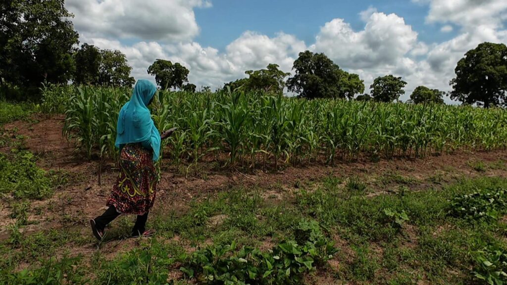
In Northern Ghana near outskirts of Tamale, smallholder farmers often had to rely on guesswork to estimate their field sizes and input needs, which sometimes led to using too many or too few seeds, fertilizers, or pesticides. This not only hurt their pockets but also strained the environment, especially as the crops in their fields like maize, okra, and soya change with each season.
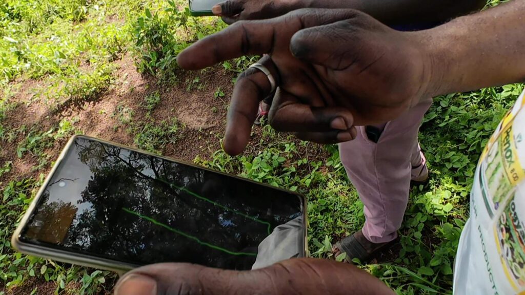
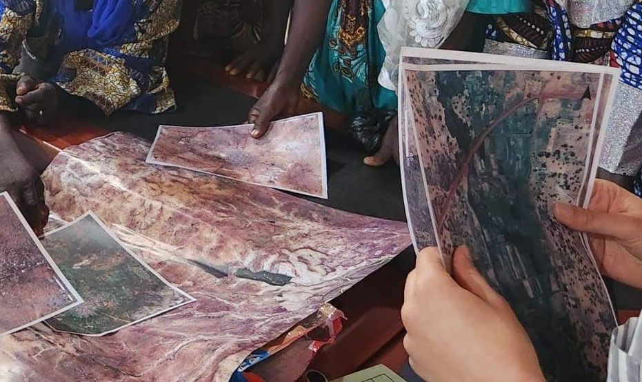
To solve this, a hands-on training program was introduced to teach farmers how to use smartphones for field mapping. By using digital tools, they could move away from rough estimates and instead make decisions based on real, accurate data. The program was designed with inclusivity in mind, ensuring that women, who are key players in local farming but often have less access to technology, received their own dedicated training sessions.
After the workshop, farmers applied their new mapping skills directly in their fields. They gained clear insights into their actual land sizes, which helped them optimize seed and fertilizer use and plan better irrigation. Ultimately, this initiative not only improved immediate farming practices but also laid the groundwork for long-term sustainability helping farmers plan crop rotations, cut unnecessary costs, and reduce environmental impacts while building stronger economic resilience.
Cornerstones of a Smartphone-Based Mapping Solution
A smartphone-based field mapping solution must be easy to use, accessible, and sustainable. It should have an intuitive interface without complex registration or file structures, allowing farmers to focus on mapping rather than technical hurdles. Simplicity ensures even those with minimal digital skills can benefit, making the tool widely usable.
Sustainability is key. The app should support long-term maintenance with regular updates and, if commercial, offer a free version with essential features. Offline functionality is crucial for areas with limited connectivity, ensuring that data remains accessible. Mapping can follow two approaches: digitizing with background imagery or tracking by physically moving around fields. Satellite images work well if field structures remain stable, but if they change often, a tracking approach unaffected by outdated imagery is more effective, especially in low-connectivity areas where real-time positioning is necessary.
An ideal solution should also allow users to attach images to mapped data, helping document field conditions such as crop health or soil quality. This enables farmers to share information with extension agents for better advice, facilitating more precise recommendations. Additionally, the app should offer different measurement settings, particularly hectares and acres, which are commonly used in West Africa. Combining spatial data with images enhances decision making, ultimately improving efficiency, sustainability, and financial planning.

Mapping Activity with Smartphone Apps
Mapping activities took place with farmers in various communities around Tamale. Following the workshop, field visits were conducted to apply the mapping techniques in real world conditions, ensuring practical learning and direct application.
For this activity, two different apps for field mapping were identified: Google Earth and Fields Area Measure. Both allow users to digitise field boundaries and track movement, but with some differences. Google Earth has limited tracking capabilities, making it more suitable for digitisation using satellite imagery. Fields Area Measure, on the other hand, offers better tracking functions but includes a premium subscription option that may prompt users with payment-related notifications, which could be distracting for those looking for a free solution. Choosing the right app depends on the specific needs of the farmer and the availability of connectivity and up-to-date satellite images.Have a look at the attached tutorials below to get started with app-based field boundary mapping.
Summary
- Knowing the exact size of a field is important to be able to apply the correct amounts of inputs, such as seeds and fertilizers.
- It also helps avoid conflict over size-dependent rental services, such as with tractor operators.
- Smartphones have a built-in GPS that can be easily used for mapping (digitally outlining) or tracking (walking around the edges) with different apps.
- Such apps should be easy to use, free, be maintained long-term, have offline capabilities, and ideally allow to share pictures along with the data.
- In-situ information, here in the form of field boundaries, can help render farming practices more sustainable and empower small-scale farmers through a data based approach.
GE Field Boundaries Tutorial
Field Boundary Delimitation and Cropped Area Measurement