


Time Estimate: “Complete this lesson in 30- 45 minutes.”
Instructions:
- Click through interactive blocks to explore details
- Test your knowledge with assessment tasks at the end of each lesson.
What do we need in-situ data for?
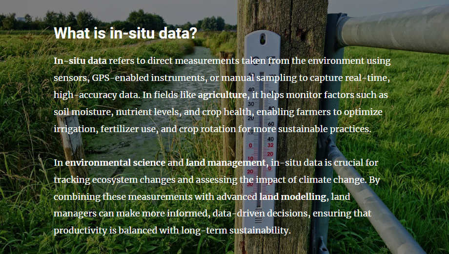
What is in-situ data?
Direct measurements taken from the environment using sensors, GPS, or manual sampling to capture real-time, high-accuracy data.
How does in-situ data help farmers?
It monitors soil moisture, nutrient levels, and crop health to optimize irrigation, fertilizers, and crop rotation.
Why is in-situ data important for land management?
It tracks ecosystem changes and climate impacts, supporting sustainable land use and conservation.
Addressing the Data Gap
Data Gaps in Farming
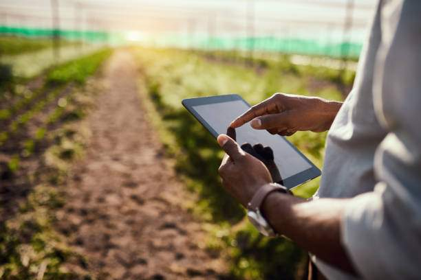
Farmers often lack real-time, accurate data, making it difficult to optimize irrigation, manage soil health, and improve yields.
The Role of In-Situ Data
Using participatory mapping and low-cost devices, farmers can directly collect soil condition, crop health, and field size data.
Empowering Farmers for Sustainability
Access to real-time measurements enables farmers to make informed decisions, improving efficiency and reducing environmental impact.
Scaling Up for Scientific Research
Aggregated in-situ data supports larger-scale studies, helping scientists and policymakers model trends and improve land management strategies.
To get into detail with this topic, we will shed light on two different approaches to collecting in-situ data:
- Participatory mapping
- Data collection with low-cost devices
Let’s jump into it!