


Future ramifications and trends
New methods
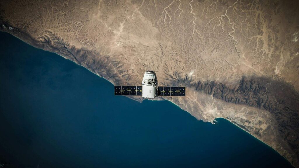
Modern digital tools, such as mobile mapping applications and remote sensing technologies, offer powerful capabilities for data collection, significantly improving land management and monitoring. These methods allow users to precisely measure field boundaries, track land use changes, and assess environmental conditions with minimal effort. By utilizing GPS-enabled smartphones and cloud-based mapping platforms, landowners and policymakers can collect, store, and analyze geospatial data in real time. This not only enhances decision-making but also supports sustainable land management practices by enabling continuous monitoring, better resource allocation, and improved compliance with regulations.
Democratization process

The democratization of field mapping is driven by the widespread availability of smartphones, which far outnumber specialized handheld GPS devices. With mobile apps like Google Earth, more people can now access accurate geospatial tools without the need for expensive equipment. This shift enables smallholder farmers, landowners, and local communities to independently measure and document their land, promoting greater accessibility to essential geographic information. By leveraging the technology that most people already own, field boundary mapping becomes more inclusive, cost-effective, and user-friendly.
Low-cost technologies

Low-cost sensors offer an affordable alternative to expensive commercial devices, enabling broader access to land and environmental monitoring. Integrated with Arduino or Raspberry Pi, sensors for turbidity, soil moisture, and GPS provide essential data for farmers and researchers at a fraction of the cost. These setups can be upgraded with better calibration, external power, or wireless data transfer, enhancing accuracy and efficiency. By reducing costs and increasing accessibility, low-cost sensors promote data-driven decision-making in land management, making environmental monitoring more practical and widespread.
Recycle data & knowledge

Spatial data collection during a study involves gathering geographic information, such as coordinates, boundaries, and environmental features, with the intention of using it not only for the immediate research but also for future secondary applications. This data can serve as a valuable resource for subsequent analysis, enabling researchers to address additional questions, validate findings, or support related studies. By ensuring proper documentation and standardization during collection, the data remains accessible and useful for a wide range of future research purposes.

What other current developments do you think are very important and have not been mentioned here?

What we have learned:
- In agriculture and environmental management, participatory mapping bridges the gap between traditional practices and modern geospatial technologies, leading to more sustainable and accepted outcomes
- Free tools as well as low-cost technology can help, but have their own requirements, uncertainties, limitations and implications
- Low-cost technology can be a viable alternative to expensive laboratory equipment.
- When working with low-cost technology, it must always be borne in mind that it generally has greater uncertainties and inaccuracies and is more fragile.
- What else did you learn personally?