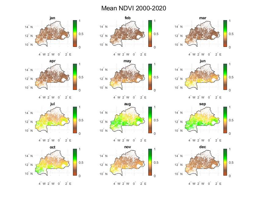

4. Example 1: NDVI Vegetation Maps for Burkina Faso


- Droughts develop gradually, with unclear start and end points, and their impacts accumulate slowly over months or years, often persisting long after initial signs appear.
- Unlike floods or hurricanes, droughts cause non-structural damage, affecting large regions without physical destruction, making impact measurement and disaster response uniquely challenging.
- Human activities directly influence drought severity: overfarming, excessive irrigation, deforestation, and soil erosion reduce the land’s ability to retain water, worsening drought conditions.
- Drought management requires adaptive strategies that address both environmental vulnerability and human-driven factors to mitigate long-term risks.
There are different types of drought (Mishra and Singh, 2010):
Meteorological Drought
Meteorological drough is defined as a period of insufficient precipitation in a region. It is commonly analyzed using monthly precipitation data and precipitation deficits relative to average values. Other methods examine drought duration and intensity based on cumulative precipitation shortages.
Hydrological drought
Hydrological drought occurs when surface and subsurface water resources are inadequate for established water uses. Streamflow data is commonly used for analysis, with geology being a major influencing factor.
Agricultural drought
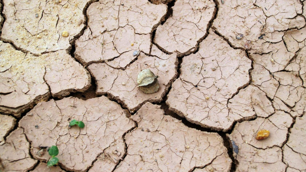
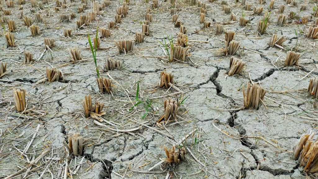
Refers to periods of declining soil moisture leading to crop failure, independent of surface water resources. It is influenced by meteorological and hydrological factors, soil properties, and plant water demand.
Socio-economic Drought
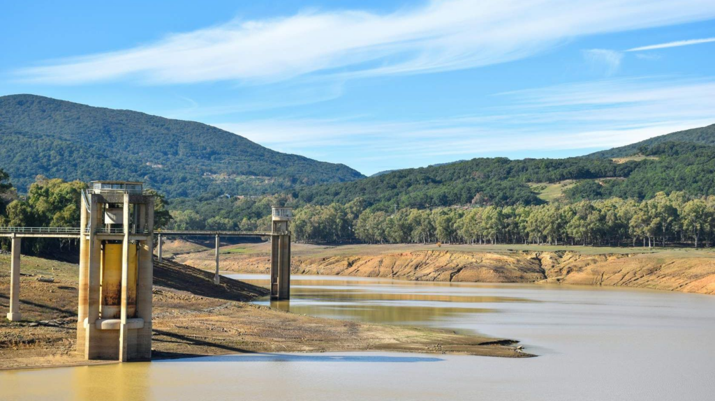
Occurs when water resource systems fail to meet water demands, linking drought to the supply and demand of water as an economic good. This type of drought happens when weather-related water shortages result in unmet water demand.
Sahel Drought & Remote Sensing Analysis
Objective
Highlight the Sahel drought’s historical significance and demonstrate how remote sensing quantifies vegetation-precipitation dynamics.
The Sahel Drought Crisis
🌍 Since the late 1960s, the Sahel; a semi-arid West African region bordering the Sahara and rainforests has endured its most severe recorded drought, causing widespread environmental degradation.
🌱 This crisis spurred global action, leading to the creation of the UN Convention to Combat Desertification (UNCCD).
Introduction
Analyzing Vegetation & Precipitation
Establish baselines

Calculate long-term monthly averages of vegetation greenness (e.g., NDVI) and precipitation.
Identify Anomalies
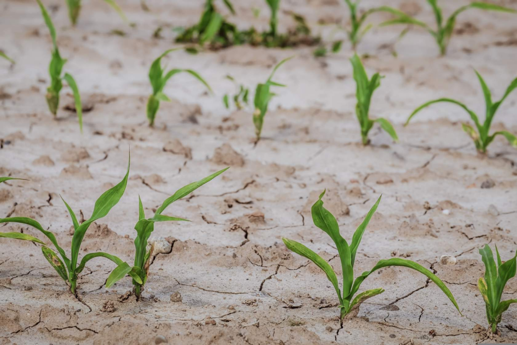
Subtract yearly values from baselines to detect deviations (e.g., lower NDVI = drought stress).
Spatial-Temporal Analysis
Map anomalies to pinpoint where/when conditions diverge from norms. Measure lag times (e.g., delayed vegetation recovery after rainfall).
Account for Phenology

Contextualize NDVI dips – A low value may reflect harvest cycles, not drought.
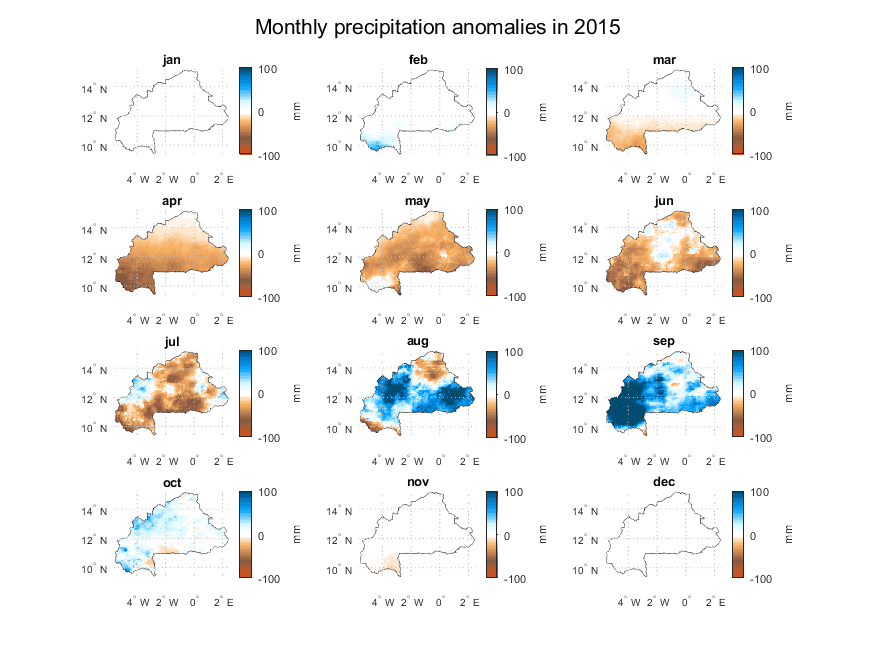
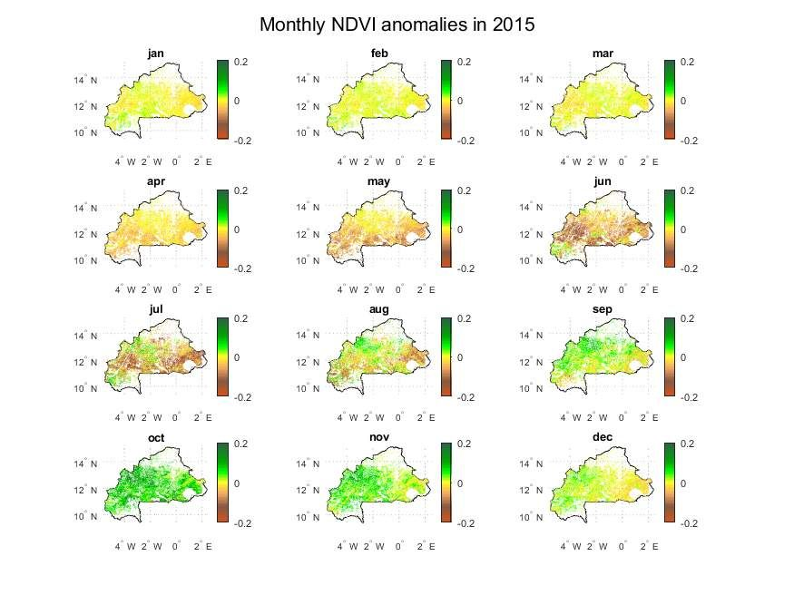
Observe the images below to compare average monthly vegetation condition on cropland in Burkina Faso in 2000-2020 with NDVI anomalies and precipitation anomalies in 2015.
Have a look at the connection between precipitation anomalies (i.e. above or below average rainfall) and NDVI anomalies (i.e. above or below average vegetation greenness) from April to July 2015, as well as the time lag of about a month after increased rainfall from August onwards.
Note also that the positive NDVI anomaly carries over into the months of October through December, although rainfall has returned to average values.