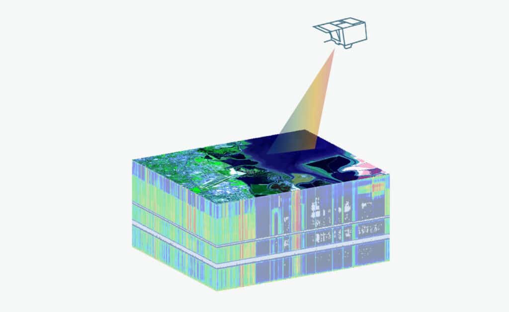
Spaceborne imaging spectroscopy of aquatic ecosystems
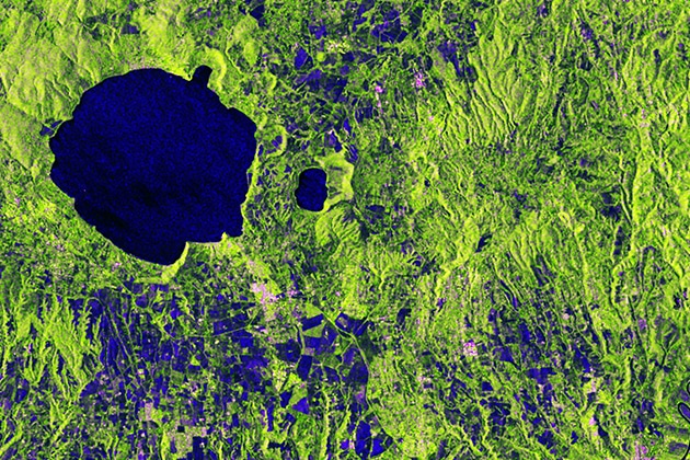
This unit introduces the topic water optics and water colour remote sensing. We start with an introduction on the importance of remote sensing for aquatic…
This unit introduces the topic water optics and water colour remote sensing. We start with an introduction on the importance of remote sensing for aquatic…
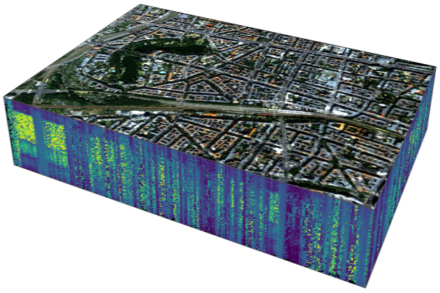
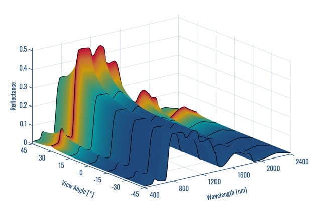
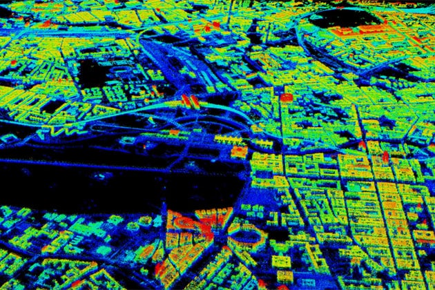
This unit presents the capabilities of imaging spectroscopy (IS) for urban mapping. A brief introduction to urban mapping is followed by the basics of IS…
This unit is one of the basic lectures provided by HYPERedu and introduces the physical basics and scientific requirements defining sensor technology, the principles of…

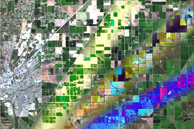
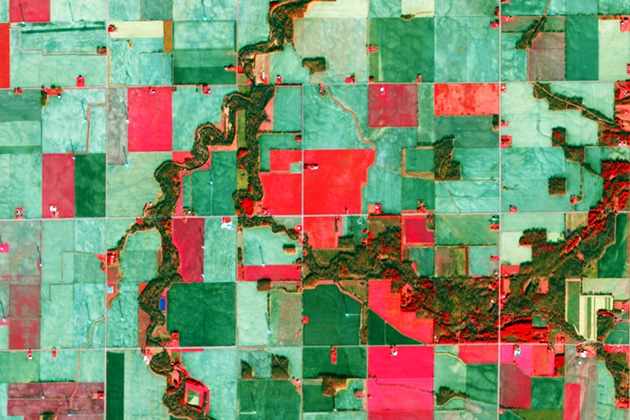
This unit gives an overview on agriculture-related hyperspectral satellite data usage. The challenges a growing world population faces in regard to agriculture and the provisioning…

Biomass is a crucial parameter in the estimation and quantification of the global carbon cycle. In this lesson the estimation of above ground biomass from…
This unit is one of the basic lectures offered by HYPERedu and introduces the theoretical process chain of sensor forward simulation. In particular, the individual…
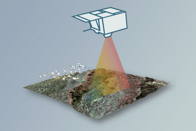
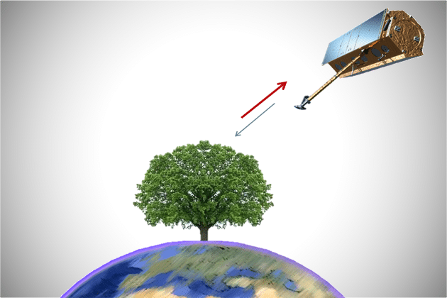
This unit introduces the basics of Forest Imaging Spectroscopy. Firstly, the spectral characteristics of vegetation on leaf and canopy level are shown and explained using…
This unit focusses on quantification regression analysis and RTMs. A short introduction to the radiance regime of vegetation is followed by an overview on retrieval…
This unit introduces dimensionality reduction methods related to hyperspectral data or imaging spectroscopy. Following an overview of feature engineering methods that use selected parametric and…
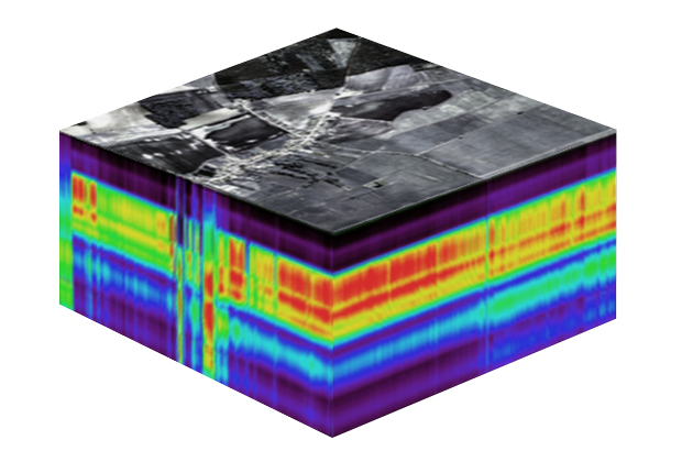
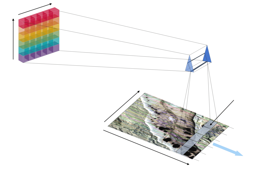
This unit introduces the physical background related to imaging spectroscopy. The basic laws of electromagnetic radiation are addressed. Based on that, processes of radiation transfer…
This presentation tells the story of the evolution of Radar technology from the early days of research on electromagnetic waves to the development of the…
This is an introduction into the classification of land cover and land use from Earth observation data. The presentation includes: The material is valid for…
The module SAR Tomography introduces the advanced technique of combining multiple radar images from several viewing angles into a new dimension of information. Although tomogoraphic…

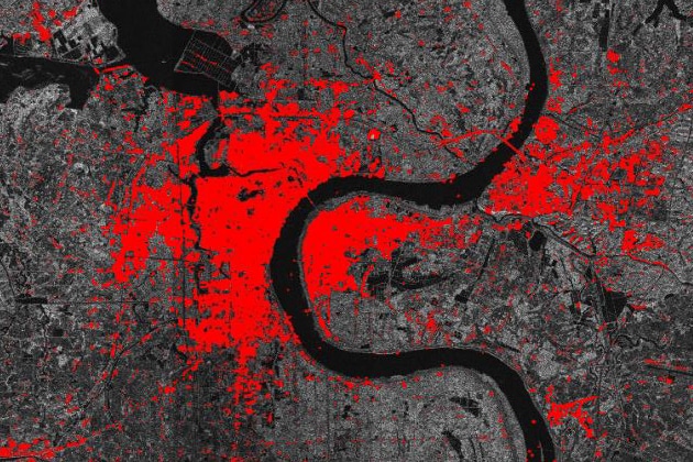
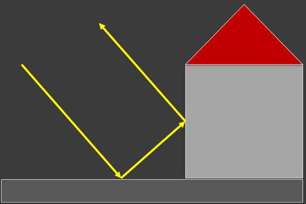
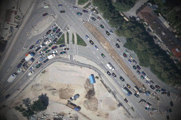
Urban areas are of significant importance to mankind and our environment. This introduction lesson gives an insight on the characteristics of urban areas and their…
In this lesson the importance of urban footprint mapping is explained, while various SAR features relevant for mapping these urban footprints are given. Moreover, you…
Advanced knowledge about the importance of urban area mapping and the relevant characteristics of urban areas in SAR data are given in this lesson. Moreover,…
This module will show the importance of extracting certain urban objects, such as buildings, trees or roads. Moreover, the potential of SAR data for urban…
In this lesson the importance of urban DSM mapping is going to be explained. Therefore, relevant SAR features for the generation of these urban DSMs…

Synergy between different sensor systems bares the potential for a more holistic analysis for (urban) environments. Advantages and drawbacks of optical remote sensing data and…
The module “Mathematics” comprises the mathematical background required for the course material of SAR-EDU. To this end, basic matrix operations are introduced, followed by a…

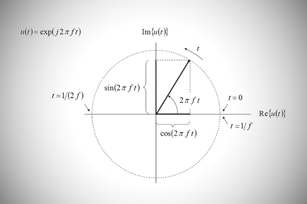
The module “Time and Frequency” includes a summary of different types of Fourier transforms which enable to analyze different types of signals (continuous/discrete, periodic/non-periodic). Different…

The module “Filter Design & Aliasing” is intended to provide the basic understanding of the design and use of filters in time/space and frequency domain.…
The module “Physics” provides a brief introduction to the physical background related to SAR imaging. First, the distribution of signal wavelengths along the electromagnetic spectrum…
The module “Introduction to Estimation Theory” provides basic definitions in estimation theory. Moreover, demonstrative examples are given in the context of remote sensing, e.g. ship…
Please confirm you want to block this member.
You will no longer be able to:
Please allow a few minutes for this process to complete.