
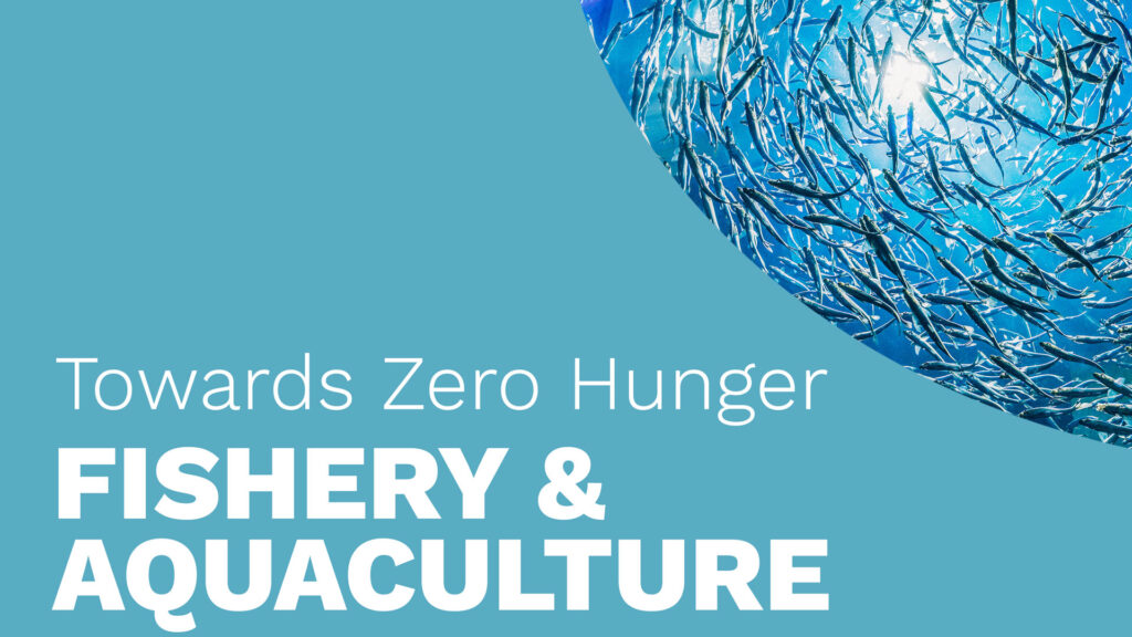
Towards Zero Hunger – Hands-on: Spectral Indices for Aquatic Applications
Normalized Difference Chlorophyll Index (NDCI)
Using Sentinel-2 Data
In Google Earth Engine
This hands-on tutorial is part of a series of online learning materials.

Towards Zero Hunger will give you insights into the potential of remote sensing technologies to support the United Nations’ Sustainable Development Goal 2: Zero Hunger.
This tutorial guides you through calculating the Normalized Difference Chlorophyll Index (NDCI), a key indicator for predicting Chlorophyll-a concentrations in turbid waters. High NDCI values often signal nutrient enrichment, reflecting the concentration of phytoplankton communities in a water body. However, in shallow or clear waters, NDCI values can be influenced by benthic vegetation such as seagrass or green algae. In this tutorial, you will calculate the NDCI for Pyramid Lake, Nevada, using Sentinel-2 data within Google Earth Engine.

SDG 2: Zero Hunger Relevance
Calculating aquatic indices like NDCI (Normalized Difference Chlorophyll Index) and TSS (Total Suspended Solids) supports the Zero Hunger goal by enabling effective water quality monitoring for agriculture and aquaculture. These indices help ensure clean water for irrigation, support sustainable fisheries, detect harmful algal blooms, and promote resilient water resource management. By leveraging satellite data, they empower resource-limited regions to make informed decisions, enhancing food production and security while advancing sustainable food systems.
Explore below the SDG 2: Zero Hunger relevance of applications related to
- Crop & Grazing Land Monitoring – Agriculture & Livestock
- Forest & Water Monitoring – Forestry & Agroforestry – Fishery & Aquaculture
- Environmental Monitoring – Agriculture & Livestock – Forestry & Agroforestry – Fishery & Aquaculture
Source Tutorial
This tutorial is part of the NASA Applied Remote Sensing Training Program (ARSET): Monitoring Water Quality of Inland Lakes using Remote Sensing.
The original content can be found at:
ARSET 2023 – Spectral Indices for Land and Aquatic Applications. NASA Applied Remote Sensing Training Program (ARSET).
Part 2: Spectral Indices for Land and Aquatic Applications, Part 2/3

By loading the video, you agree to YouTube’s privacy policy.
Learn more
Credit
This topic was created with the help of learning materials that were kindly provided by:
- (2023). ARSET – Spectral Indices for Land and Aquatic Applications. NASA Applied Remote Sensing Training Program (ARSET). http://appliedsciences.nasa.gov/get-involved/training/english/arset-spectral-indices-land-and-aquatic-applications
Towards Zero Hunger Modules
If you want to learn more about different food production systems, the role of EO, approaches, or applications for mapping and monitoring, you can choose from the courses below.
Fundamentals & Concepts Modules


Hands-on Tutorials

Hands-on Tutorials Companion

About Instructor

Course Includes
- 3 Lessons