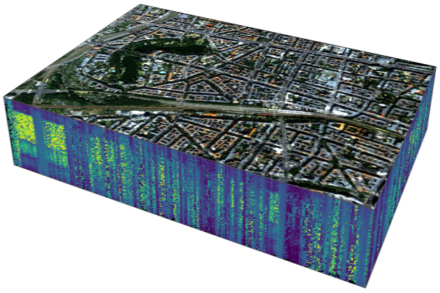
This unit presents the capabilities of imaging spectroscopy (IS) for urban mapping. A brief introduction to urban mapping is followed by the basics of IS for urban surface materials and urban green types. Challenges related to airborne and spaceborne data acquisitions are being addressed and methodological concepts for urban land cover mapping introduced. Lastly, different case studies are presented to demonstrate a range of possible applications of urban IS.
This unit was originally published in March 2022. The revised version is accessible since February 2023. Students are advised to go through the unit “Principles of imaging spectroscopy” before starting with this unit. The tutorial “Regression-based unmixing of urban land cover” offers complementary and practical insights into the functionalities and the spectral library handling of the EnMAP-Box, as well as hands-on training on the regression-based unmixing processing chain.
How to cite this slide collection: A. Okujeni, S. Cooper, J. Degerickx, M. Herold, S. Foerster, U. Heiden, P. Hostert, S. van der Linden (2022). Imaging spectroscopy for urban mapping – Principles, methodological concepts and applications of hyperspectral data for mapping urban land cover. HYPERedu, EnMAP education initiative, Humboldt-Universität zu Berlin; originally published in March 2022, revised February 2023.
Please help us to further improve the hyperspectral resources and send us your feedback to hyperedu@eo-college.org




Responses