Hydrosphere Applications
The application potential of Radar Remote Sensing in the hydrosphere expands far beyond soil moisture retrieval. In this lesson measurement techniques for Wetlands, Water bodies,…
The application potential of Radar Remote Sensing in the hydrosphere expands far beyond soil moisture retrieval. In this lesson measurement techniques for Wetlands, Water bodies,…

This lessons gives a short review of existing radar sensors, both active and passive, used in hydrospheric applications. Furthermore, recent satellite missions carrying these sensors…
The introduction to oceanographic applications with SAR data gives a broad overview of the topic. It introduces various fields of application, gives hints on further…
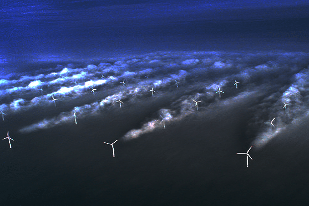
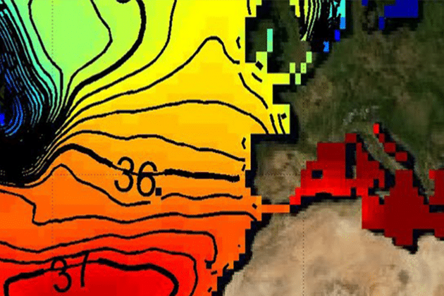
The lesson “Surface Wind” gives insights into mechanisms of Sea surface wind and its impact on the water surface. The concept of empirical geophysical wind…
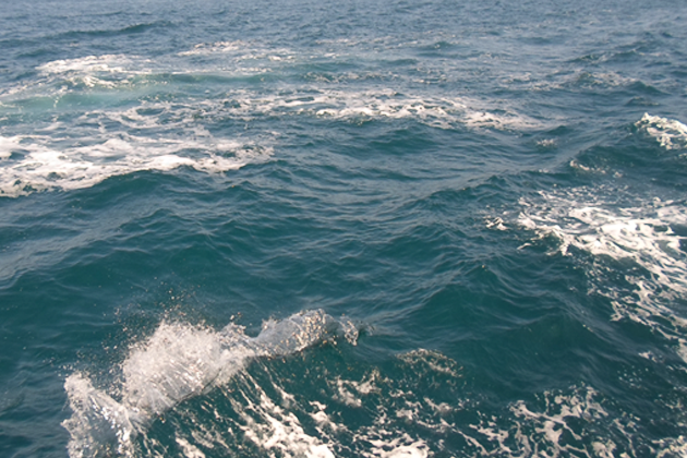
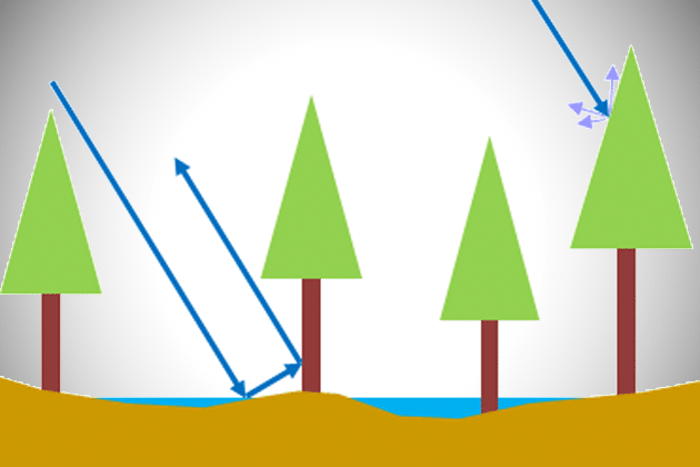
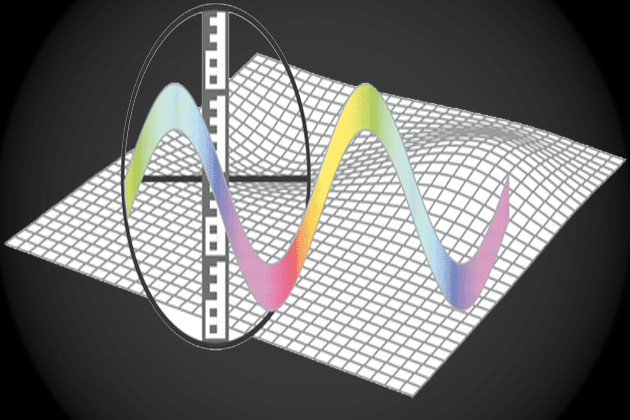
This lesson introduces into the physical background of surface waves and their creation. SAR mechanisms for imaging waves are presented and measurement techniques are explained.
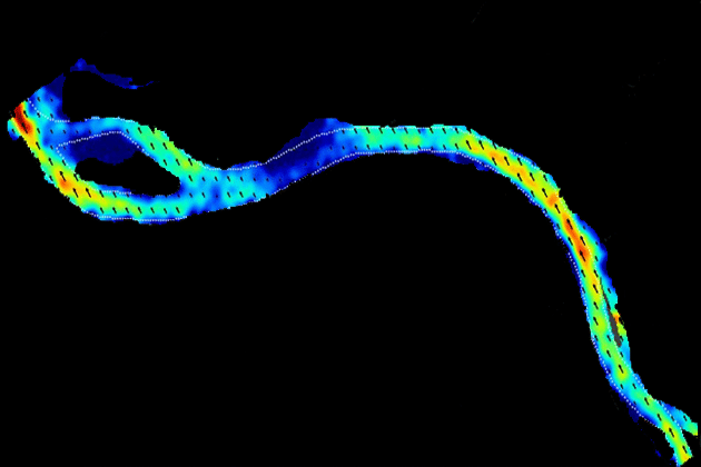
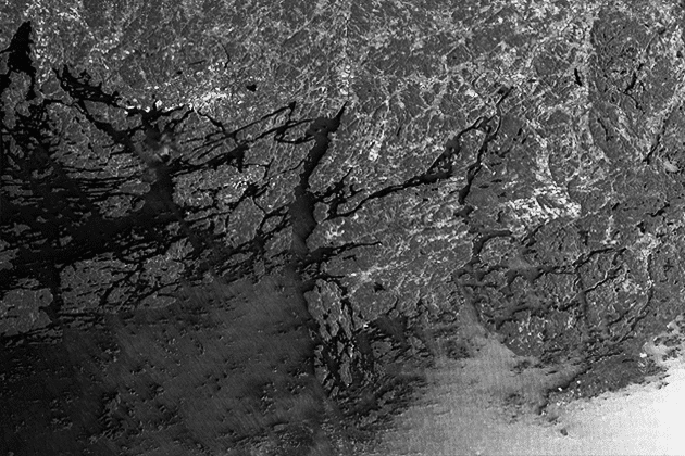
This lesson presents approaches and techniques to measure surface ocean currents with SAR data. The methods are separated into direct and indirect measurement techniques.
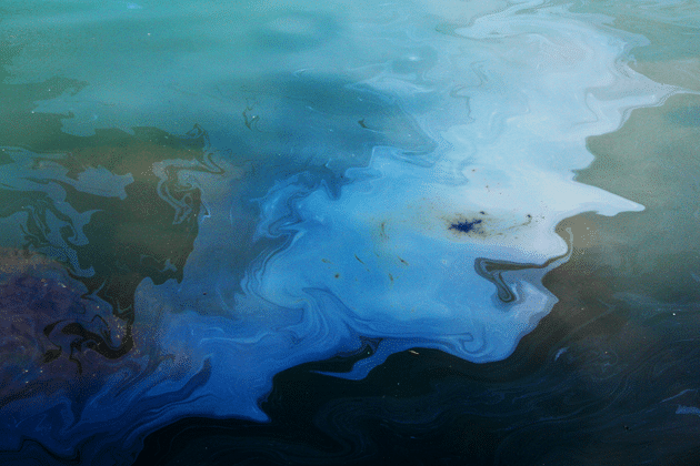
The detection of oil contaminated areas at sea is one of the major applications of SAR data in oceanography. This lesson provides knowledge regarding detection…
Aside from active radar remote sensing techniques such as SAR, it is also possible to measure the natural microwave emission of the Earth. This lesson…
Anthropogenic activities have manifold influences on the shape and dynamic of the Earth’s surface. In this lesson you learn methods and concepts used to monitor…
The module “Probability Theory” provides the mathematical basics for understanding the methods of estimation theory. After defining the term “probability”, the Bayes’ Theorem is introduced…
Please confirm you want to block this member.
You will no longer be able to:
Please allow a few minutes for this process to complete.