Detection
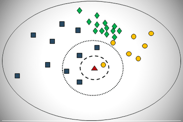
The module “Detection” introduces the Bayesian decision rule which enables to test a hypothesis with the result “true” or “false”. In this regard, different types…
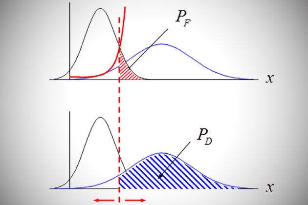
The module “Detection” introduces the Bayesian decision rule which enables to test a hypothesis with the result “true” or “false”. In this regard, different types…
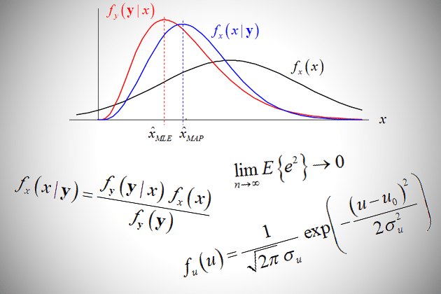
The module “Parameter Estimation Basics” offers different strategies for estimating an unknown parameter based on given observations. Besides the estimated value, the quantization of the…
The module “Optimal Linear Estimation” extends the idea of parameter estimation to multiple dimensions. In this context, different ways integrating prior knowledge are introduced, including…
The complete partioning of a remote sensing scene into non-overlapping regions/segments/objects is a strongly developing concept in the field of image interpretation. The lesson on…
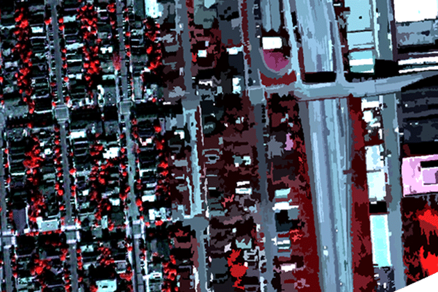
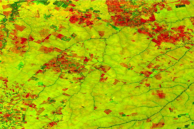
The overall objective of the categorization of all pixels in a (SAR) image into semantically meaningful classes is one of the most conducted processing steps…
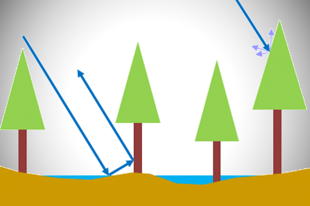
Change is a direct consequence of the physical composition of the Earth. The continous course of interconnected cycles causes alterations of the land surface. This…
The concept of data fusion describes the combination of two or more images by means of a certain algorithm. This is done to achieve synergetic…
Speckle is a common phenomenon in SAR data, which has its origin in the radar image acquisition principles. In almost all applications in geosciences speckle…
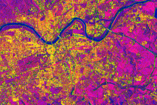
Image texture is an important feature in image interpretation in optical as well as radar remote sensing. This lesson gives insights into the concept of…
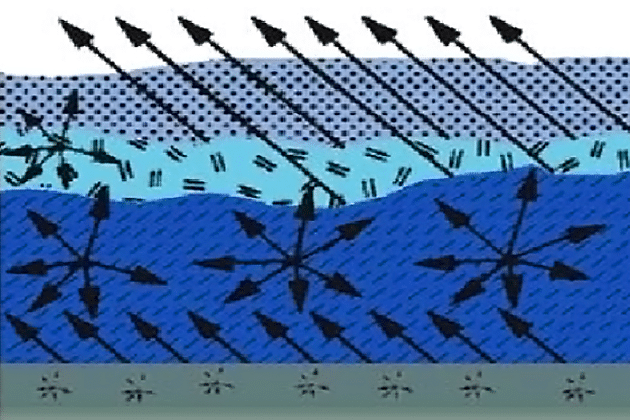
The lesson “PolSAR” deals with the nature of electromagnetic waves and polarization as basic features to describe and analyze objects on the Earth’s surface. Basics…
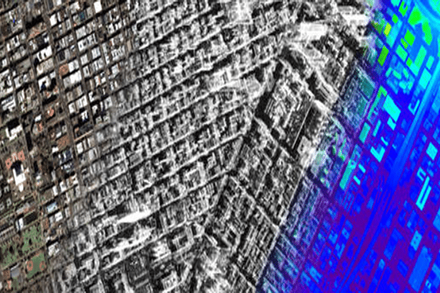
The term “Radargrammetry” describes a group of methods and techniques that analyzes Radar images under consideration of differing viewing angles. Thereby, the benefits of stereoscopic…
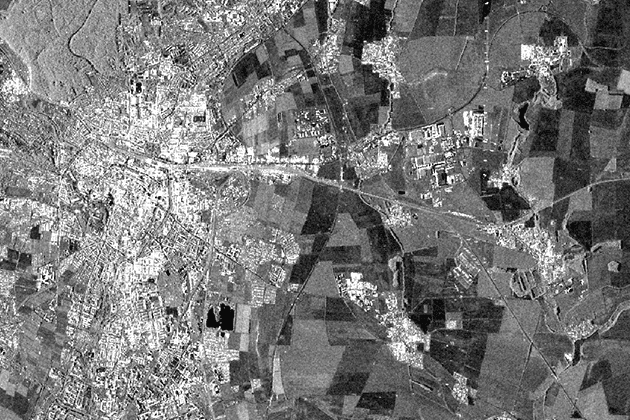
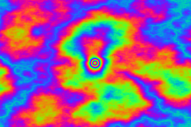
This is a very important Lesson on the way to understand how a Radar image is detected and how a Radar works! The module “SAR…

This lessons introduces a vastly used technology called “Radar Interferometry” (InSAR). The presentation procures information about the development of InSAR as an analysis tool in…
The lesson “InSAR Error Sources” deals with factors that influence the accuracy of the interferometric phase. The vastly used parameter “Interferometric Coherence” is introduced and…
The module “Digital Image Processing Basics” contains a set of slides that might come in handy for teaching and learning the very basics of the…

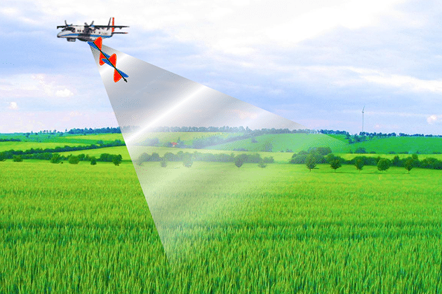
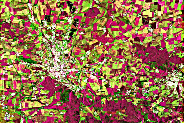
The module “Agricultural Applications with SAR Data” provides information about the potentials and limitations of SAR data for farming activities. Relevant sensor and target parameters…
This lesson presents the physical principles of the interaction between the radar signal and snow. It is dealing with the influence of different surface conditions…
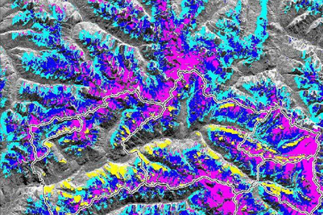
The lesson on snow cover shows different approaches to map snow cover extent/snow covered area (SCA) from SAR, e.g. from SAR amplitude imagery and coherence.…
In this lesson you learn about different applications of SAR data for derive geophysical variables and products over glaciers and ice sheets. The manifold applications…

This lesson describes the basic principles and algorithms to map sea ice concentration and other parameters from SAR. The presented applications are ranging from sea…
This lesson illustrates different applications of SAR for permafrost mapping. It is presenting application examples for research on freeze-thaw cycles, methane emission and permafrost related…
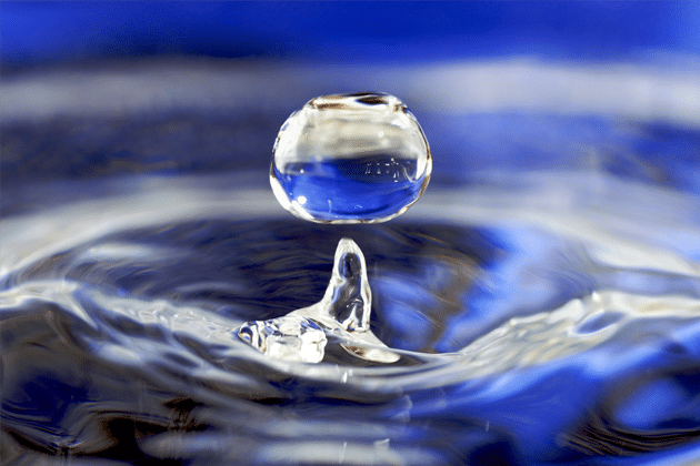
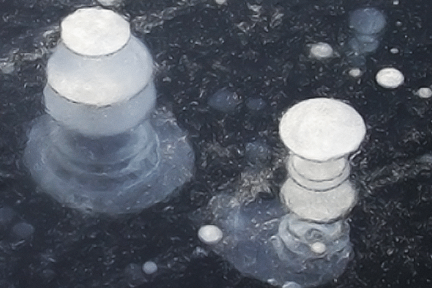
This lesson introduces water as the key variable in the hydrosphere of the Earth. It gives insights into the distribution of water on Earth and…
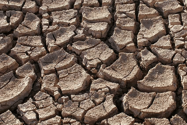
This lesson gives an overview of the properties of soil and soil moisture. The relevant physical basics for soil moisture measurements and existing approaches for…
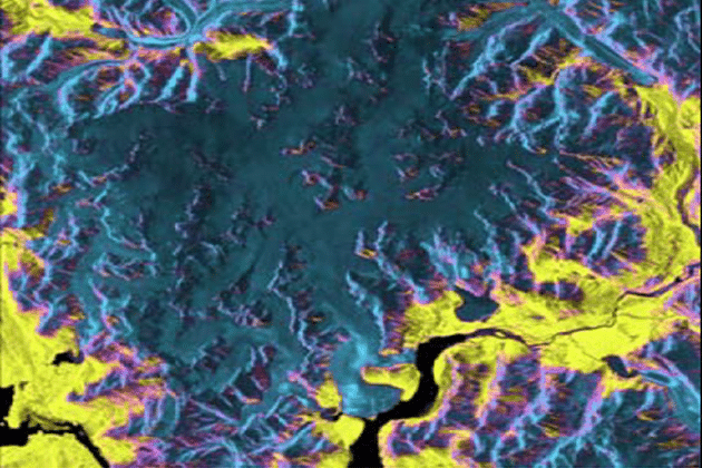
The application potential of Radar Remote Sensing in the hydrosphere expands far beyond soil moisture retrieval. In this lesson measurement techniques for Wetlands, Water bodies,…
Please confirm you want to block this member.
You will no longer be able to:
Please allow a few minutes for this process to complete.