Download Resource
The SAR-EDU material is published under a Creative Commons Licence. This work is licenced under a Attribution-ShareAlike 4.0 International License (CC BY-SA 4.0).
YOU ARE FREE TO:
Share - copy and redistribute the material in any medium or format. Adapt - remix, transform, and built upon the material for any purpose, even commercially.
UNDER THE FOLLOWING TERMS:
Attribution - You must give appropriate credit, provide a link to the license, and indicate if changes were made. You may do so in any reasonable manner, but not in any way that suggests the licensor endorses you or your use. ShareAlike - If you remix, transform, or build upon the material, you must distribute your contributions under the same license as the original. The licensor cannot revoke these freedoms as long as you follow the license terms!
 Unit
Unit 


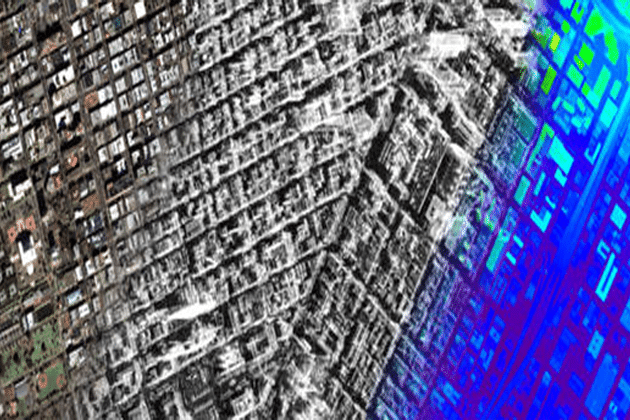
what kind of classification we should apply for urban areas