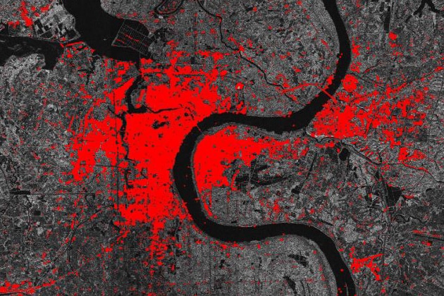
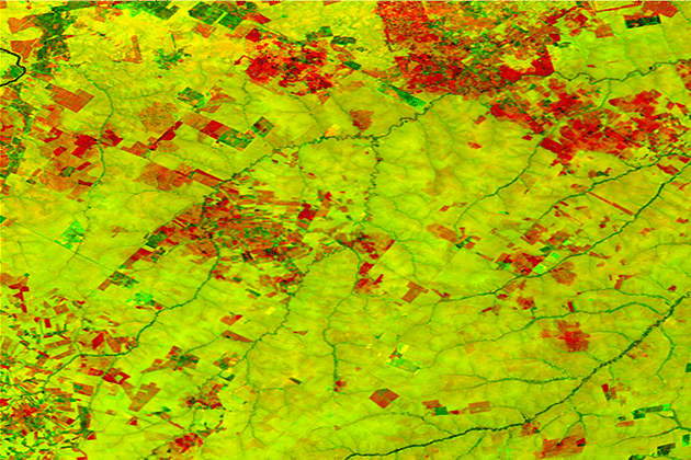
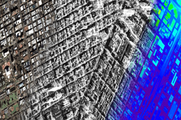
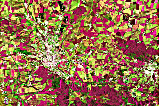
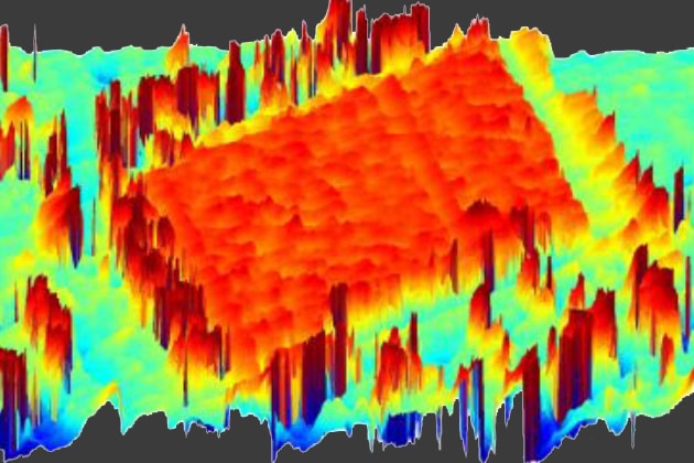
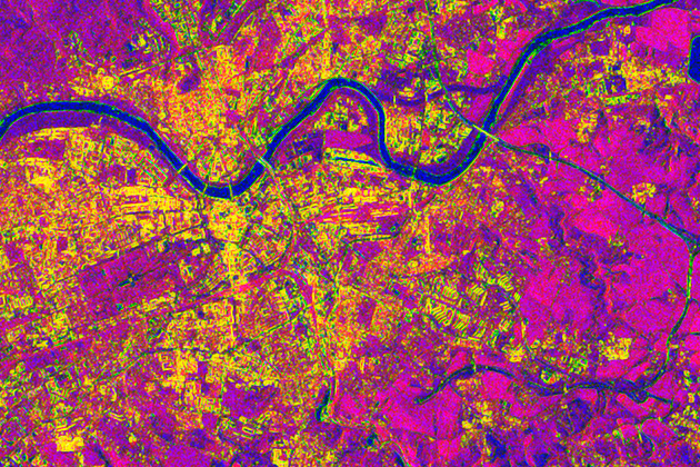
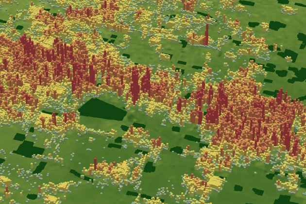
In this lesson the importance of urban footprint mapping is explained, while various SAR features relevant for mapping these urban footprints are given. Moreover, you will learn about the “Global Urban Footprint” project of DLR.
You must be logged in to download this resource.
There was a problem reporting this post.
Please confirm you want to block this member.
You will no longer be able to:
Please allow a few minutes for this process to complete.
The SAR-EDU material is published under a Creative Commons Licence. This work is licenced under a Attribution-ShareAlike 4.0 International License (CC BY-SA 4.0).
YOU ARE FREE TO:
Share – copy and redistribute the material in any medium or format. Adapt – remix, transform, and built upon the material for any purpose, even commercially.
UNDER THE FOLLOWING TERMS:
Attribution – You must give appropriate credit, provide a link to the license, and indicate if changes were made. You may do so in any reasonable manner, but not in any way that suggests the licensor endorses you or your use. ShareAlike – If you remix, transform, or build upon the material, you must distribute your contributions under the same license as the original. The licensor cannot revoke these freedoms as long as you follow the license terms!
Help for understanding licenses and choosing the right Open Source license
And plentiful resources on open source projects, how to contribute and incorporate them into your work
Responses
Hi. In the production of an urban footprint map, what is the essence of using two imagery from different dates?, also, why do we need to generate coherence and interferometry images for urban footprints map? Thank you.
The RADAR courses are currently unavailable . What should I do to access it ? When will it be available ?
@deepthi you can donwload all resources after log in by clicking on the download’ button at the bottom of the page. If you are reffering to the Echoes in space course, we are working right now on a repeat of the first run. Registered users will get notified by email.