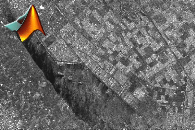
DEM generation with MATLAB
SAR interferometry is widely used for the generation of digital elevation models (DEM). The topographic information is derived by exploiting the phase differences of coherent…
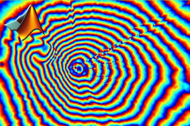
SAR interferometry is widely used for the generation of digital elevation models (DEM). The topographic information is derived by exploiting the phase differences of coherent…
The lesson “PolSAR” deals with the nature of electromagnetic waves and polarization as basic features to describe and analyze objects on the Earth’s surface. Basics…
The term “Radargrammetry” describes a group of methods and techniques that analyzes Radar images under consideration of differing viewing angles. Thereby, the benefits of stereoscopic…

In this tutorial you learn how to monitor the behavior of the Earth’s surface due to underground hard coal mining activities with SAR data. The…
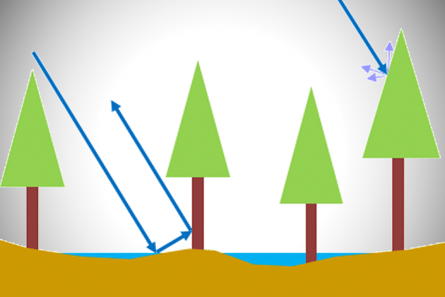
This is a very important Lesson on the way to understand how a Radar image is detected and how a Radar works! The module “SAR…
Raw Synthetic Aperture Radar (SAR) data in its uncompressed form has to be focused in order to be used for further processing steps, e.g. the…
This lessons introduces a vastly used technology called “Radar Interferometry” (InSAR). The presentation procures information about the development of InSAR as an analysis tool in…
The lesson “InSAR Error Sources” deals with factors that influence the accuracy of the interferometric phase. The vastly used parameter “Interferometric Coherence” is introduced and…
Raw Synthetic Aperture Radar (SAR) data in its uncompressed form has to be focused in order to be used for further processing steps, e.g. the…
The module “Digital Image Processing Basics” contains a set of slides that might come in handy for teaching and learning the very basics of the…

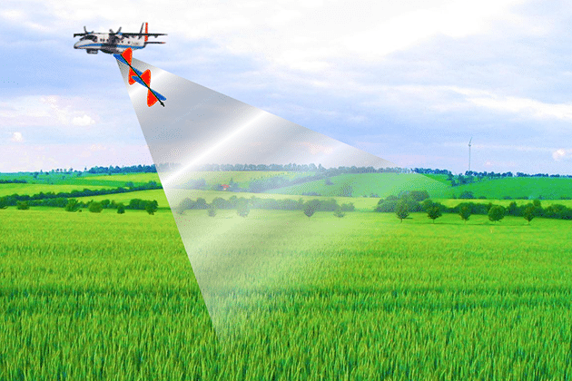
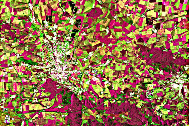
The module “Agricultural Applications with SAR Data” provides information about the potentials and limitations of SAR data for farming activities. Relevant sensor and target parameters…
This lesson presents the physical principles of the interaction between the radar signal and snow. It is dealing with the influence of different surface conditions…
The lesson on snow cover shows different approaches to map snow cover extent/snow covered area (SCA) from SAR, e.g. from SAR amplitude imagery and coherence.…
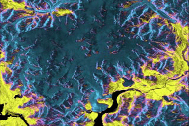
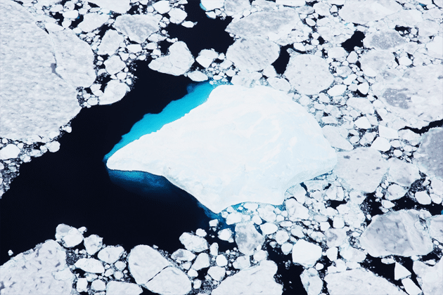
In this lesson you learn about different applications of SAR data for derive geophysical variables and products over glaciers and ice sheets. The manifold applications…
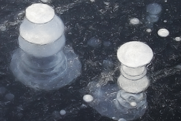
This lesson describes the basic principles and algorithms to map sea ice concentration and other parameters from SAR. The presented applications are ranging from sea…
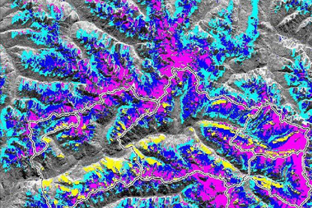
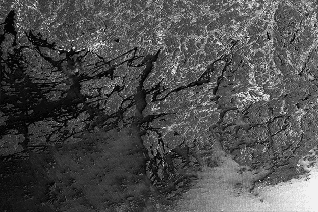
This lesson illustrates different applications of SAR for permafrost mapping. It is presenting application examples for research on freeze-thaw cycles, methane emission and permafrost related…
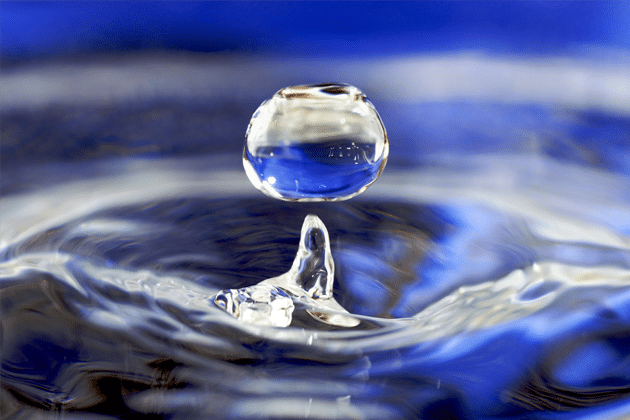
This lesson introduces water as the key variable in the hydrosphere of the Earth. It gives insights into the distribution of water on Earth and…
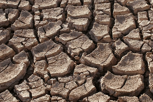
This lesson gives an overview of the properties of soil and soil moisture. The relevant physical basics for soil moisture measurements and existing approaches for…
The application potential of Radar Remote Sensing in the hydrosphere expands far beyond soil moisture retrieval. In this lesson measurement techniques for Wetlands, Water bodies,…

This lessons gives a short review of existing radar sensors, both active and passive, used in hydrospheric applications. Furthermore, recent satellite missions carrying these sensors…

This lesson introduces you to the application of SAR interferometry and advanced InSAR time-series methods (Persistent scatterer – PS, Small BAseline Subset – SBAS) to…
The introduction to oceanographic applications with SAR data gives a broad overview of the topic. It introduces various fields of application, gives hints on further…
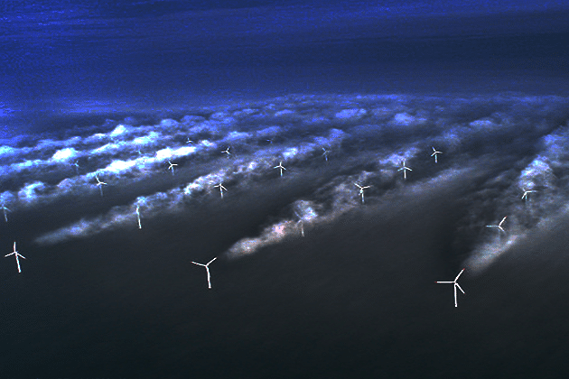
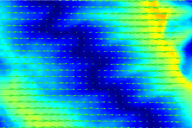
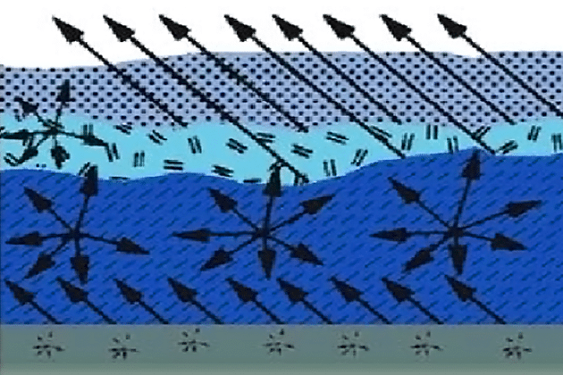
The lesson “Surface Wind” gives insights into mechanisms of Sea surface wind and its impact on the water surface. The concept of empirical geophysical wind…
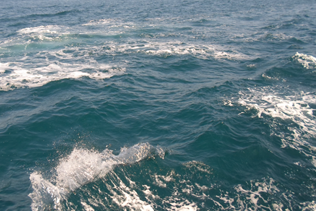
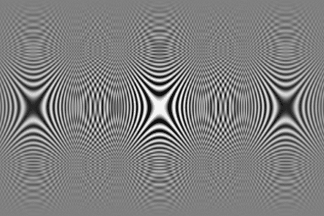
This lesson introduces into the physical background of surface waves and their creation. SAR mechanisms for imaging waves are presented and measurement techniques are explained.
Please confirm you want to block this member.
You will no longer be able to:
Please allow a few minutes for this process to complete.