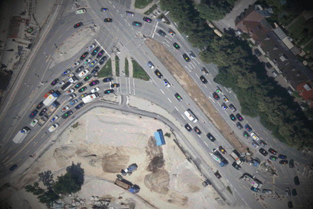
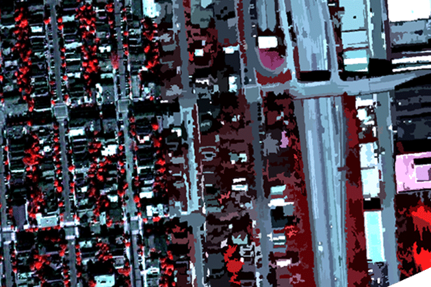
Urban Land Cover
Advanced knowledge about the importance of urban area mapping and the relevant characteristics of urban areas in SAR data are given in this lesson. Moreover,…
Advanced knowledge about the importance of urban area mapping and the relevant characteristics of urban areas in SAR data are given in this lesson. Moreover,…
This module will show the importance of extracting certain urban objects, such as buildings, trees or roads. Moreover, the potential of SAR data for urban…

Urban areas are of significant importance to mankind and our environment. This introduction lesson gives an insight on the characteristics of urban areas and their…
In this lesson the importance of urban footprint mapping is explained, while various SAR features relevant for mapping these urban footprints are given. Moreover, you…
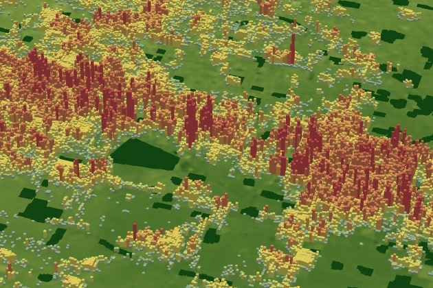
In this lesson the importance of urban DSM mapping is going to be explained. Therefore, relevant SAR features for the generation of these urban DSMs…

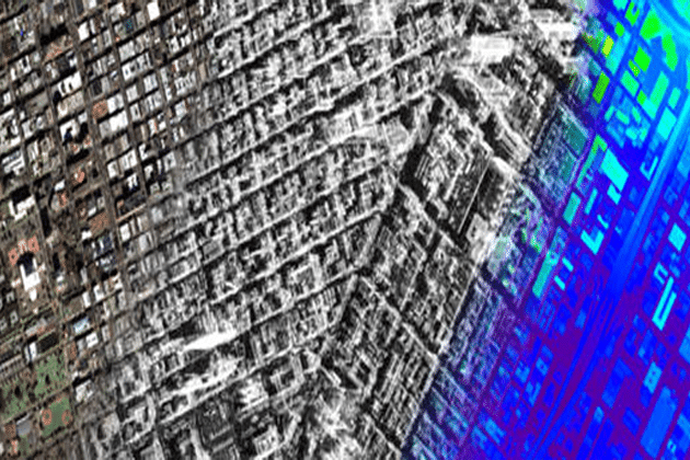
Synergy between different sensor systems bares the potential for a more holistic analysis for (urban) environments. Advantages and drawbacks of optical remote sensing data and…
The module “Mathematics” comprises the mathematical background required for the course material of SAR-EDU. To this end, basic matrix operations are introduced, followed by a…
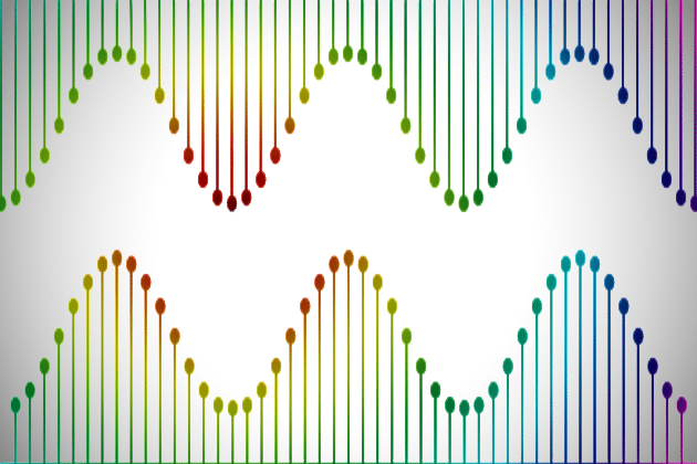
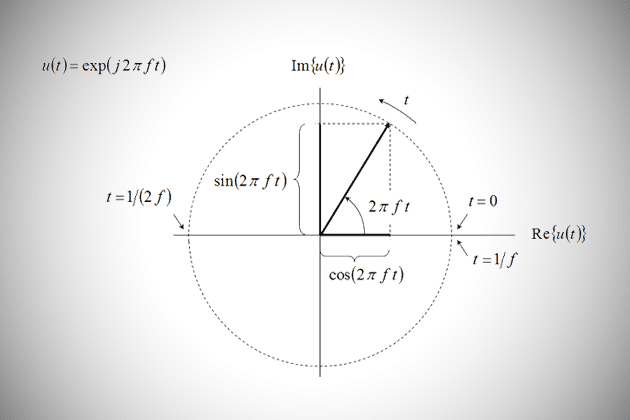
The module “Time and Frequency” includes a summary of different types of Fourier transforms which enable to analyze different types of signals (continuous/discrete, periodic/non-periodic). Different…

The module “Filter Design & Aliasing” is intended to provide the basic understanding of the design and use of filters in time/space and frequency domain.…
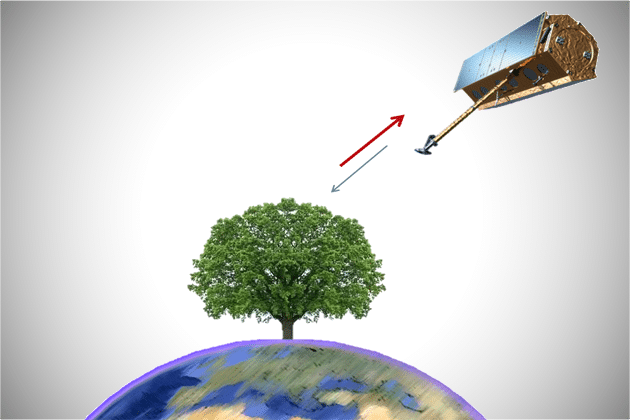
The module “Physics” provides a brief introduction to the physical background related to SAR imaging. First, the distribution of signal wavelengths along the electromagnetic spectrum…
The module “Introduction to Estimation Theory” provides basic definitions in estimation theory. Moreover, demonstrative examples are given in the context of remote sensing, e.g. ship…
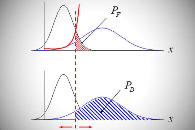
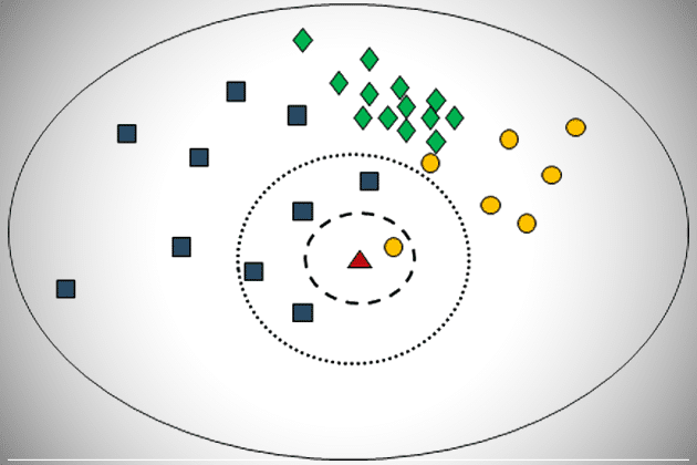
The module “Detection” introduces the Bayesian decision rule which enables to test a hypothesis with the result “true” or “false”. In this regard, different types…
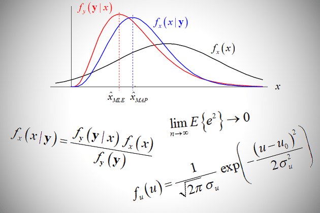
The module “Parameter Estimation Basics” offers different strategies for estimating an unknown parameter based on given observations. Besides the estimated value, the quantization of the…
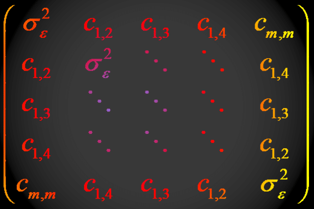
The module “Optimal Linear Estimation” extends the idea of parameter estimation to multiple dimensions. In this context, different ways integrating prior knowledge are introduced, including…
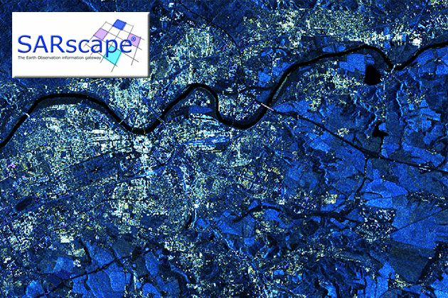
In this tutorial you can learn how to get started with SARscape, beginning with a brief description and order instructions. You will learn how to…
In this tutorial you can learn how to get started with GAMMA, beginning with a brief description and order instructions. You will learn how to…
In this tutorial you can learn how to get started with SNAP, beginning with a brief description and download instructions. You will learn how to…
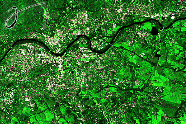
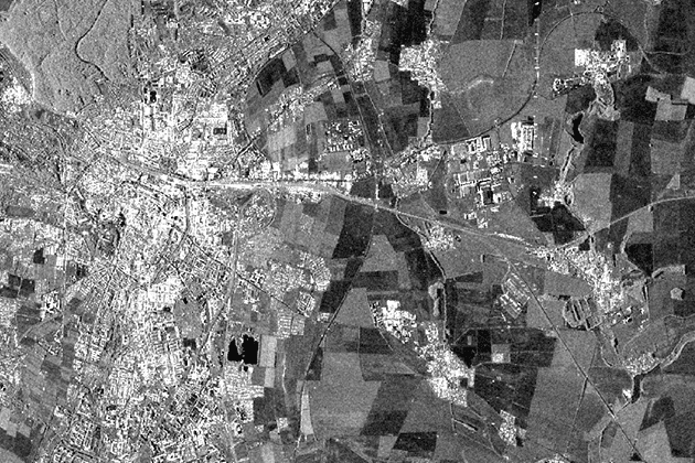
Change is a direct consequence of the physical composition of the Earth. The continous course of interconnected cycles causes alterations of the land surface. This…
The concept of data fusion describes the combination of two or more images by means of a certain algorithm. This is done to achieve synergetic…
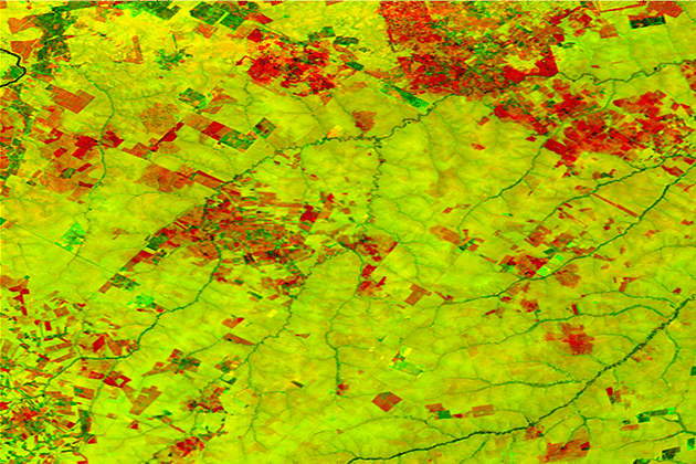
The complete partioning of a remote sensing scene into non-overlapping regions/segments/objects is a strongly developing concept in the field of image interpretation. The lesson on…
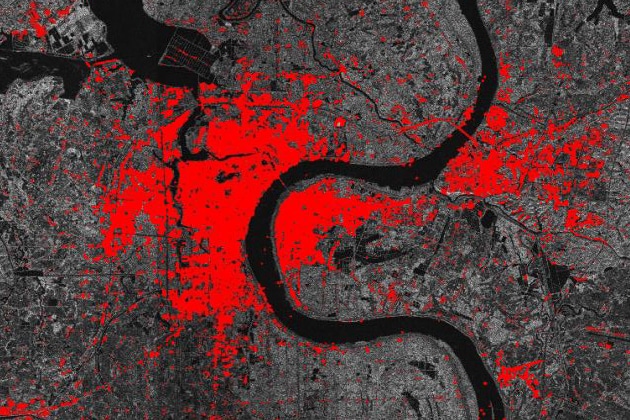
The overall objective of the categorization of all pixels in a (SAR) image into semantically meaningful classes is one of the most conducted processing steps…
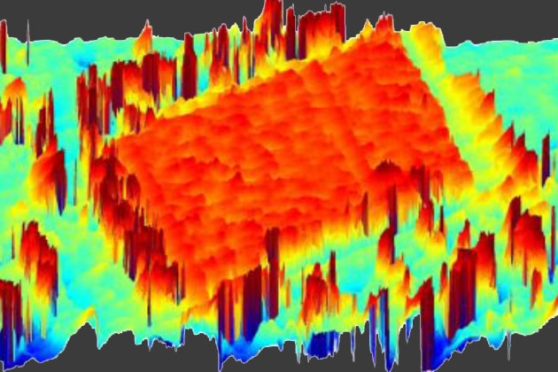
Speckle is a common phenomenon in SAR data, which has its origin in the radar image acquisition principles. In almost all applications in geosciences speckle…
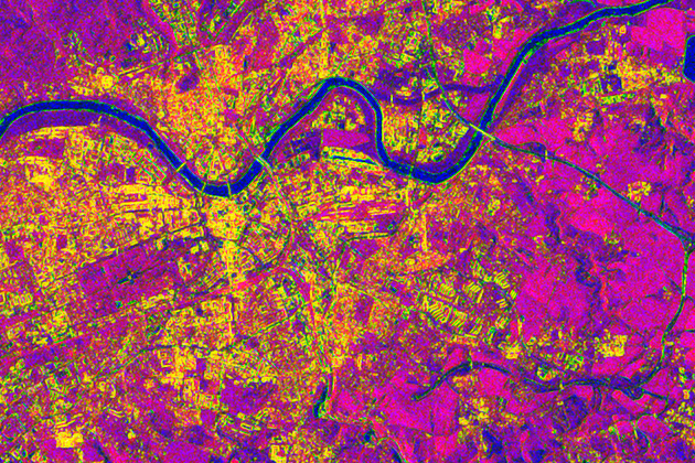
Image texture is an important feature in image interpretation in optical as well as radar remote sensing. This lesson gives insights into the concept of…
SAR interferometry is widely used for the generation of digital elevation models (DEM). The topographic information is derived by exploiting the phase differences of the…
Please confirm you want to block this member.
You will no longer be able to:
Please allow a few minutes for this process to complete.