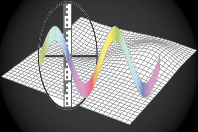
Anthropogenic activities have manifold influences on the shape and dynamic of the Earth’s surface. In this lesson you learn methods and concepts used to monitor the behavior and extent of deformation phenomena from various sources. Furthermore, SAR interferometry is compared to traditional deformation measurement techniques.

- Author: SAR EDU
- Published: September 20, 2017
- Categories: Anthroposphere, Applications
Anthroposphere
Deformation Monitoring with SAR Interferometry
Bitte einloggen, um die Downloads zu sehen.
Responses
You must be logged in to post a comment.


The link is broken
Agree, Gelgay, tracking progress of a gully using the DInSAR technique
can we calculate gully volume change over time , using radar data????
can we detect/monitor the surface deformation caused by gully erosion using DInSAR techniques , I wonder if any one could confirm with manifestation
@mborgoyn can you specify the error, so we can try to fix it?
cannot open lesson????????????????????????????????????