What is this course about?
In this course, we will introduce you to how Canadians research, develop and utilize radar remote sensing technology for mapping and environmental monitoring.
In five brief lessons, you will learn about early developments of radar leading to the Canadian RADARSAT program and how Canadian government researchers and managers are currently using satellite radar data in their day-to-day work.
After completing this course you will have a better understanding of Canada’s practical needs for and know-how of satellite radar when it comes to meeting the challenges of winter, water, and warming in a very large country.
The learning is self-paced.
Registration is open during the entire course.
Pick up learning when the time is right for you.
Welcome to Canada!
In the video below Dirk Werle from Canadian Space Agency welcomes you to Canada and provides the outline of the course.
How is the course structured?
The course consists of five short lessons. Following a brief introduction, they will cover the following topics:
- Canada and RADAR
- Agriculture
- Lake and River Ice
- Sea Ice
- Canada’s RADARSAT Constellation Mission
They all respond in some way to the main theme of this Canadian SAR Mini-MOOC: Winter – Water – Warming.
Workload
This is a self-paced course. We are estimating an effort of four hours to complete the course.
Certificate
You will receive a certificate of achievement for completing the course.
Who is this course made for?
In this course, we assume that you have some basic knowledge of radar remote sensing. For completing the Canadian SAR Mini-MOOC with good success, it would be helpful for you to have an understanding of
- What are the basics of satellite remote sensing?
- What are the operating principles of a synthetic aperture radar (SAR) system?
- What are the main applications of imaging radars?
If you do not know these concepts, we recommend to take the ‘Echoes in Space’ course first. This course will give you a detailed introduction into the basics of radar remote sensing.
Take the intro to radar first
Introduce yourself
In order to improve our educational offers in the future, we’d like to know a little more about yourself in this anonymous survey.
Help us with some feedback
Instructors
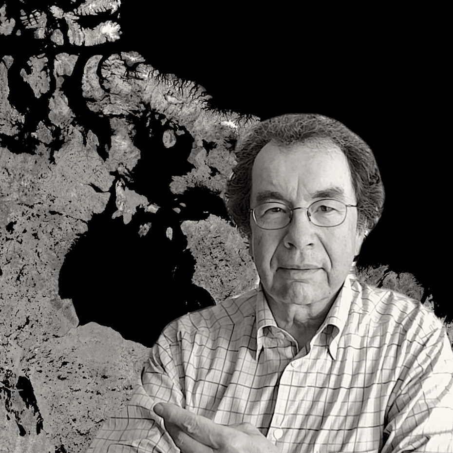
Earth Observation Expert, Canadian Space Agency

Research Scientist and Manager Agriculture and Agri-Food Canada
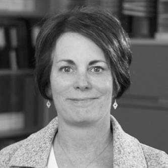
Research Scientist, Agriculture and Agri-Food Canada

Research Scientist, Natural Resources Canada
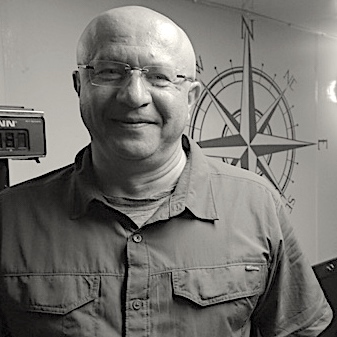
Research Scientist, Environment and Climate Change Canada
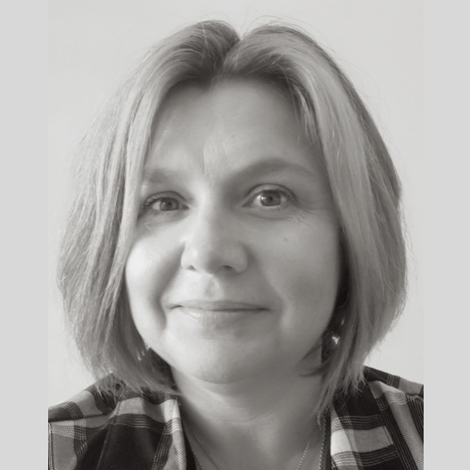
Physical Scientists, Agriculture and Agri-Food Canada
Physical Scientists, Agriculture and Agri-Food Canada
Remote Sensing Specialist, Agriculture and Agri-Food Canada
Land Use Specialist, Agriculture and Agri-Food Canada
Contributors

Produced by


Acknowledgement
Several Canadian Government organizations and individuals (in alphabetical order) were involved in this MOOC. Their contributions are gratefully acknowledged.
Agriculture and Agri-Foods Canada: Leander Campbell, Dr. Andrew Davidson, Dr. Laura Dingle-Robertson, Kirk Finken, Thierry Fisette, Dr. Xianfeng Jiao, Dr. Heather McNairn
Canadian Space Agency: Guy Aubé, Paul Briand, Daniel Delisle, Steve Iris, Michael Kirby, Dirk Werle
Environment and Climate Change Canada / Canadian Ice Service: Dean Flett, Tom Zagon
Natural Resources Canada: Zara Ansar, David Ashe, Dr. Lotfi Chouanine, Elizabeth Connell, Dr. Roger De Abreu, Ian Durkin, Michael Harb, James Ikkers, Anne Jensen, Christian Prévost, Subbaraman Ramachandran, Wendy Ripmeester, Dr. Joost van der Sanden
The Canadian team members gratefully acknowledge the advice and technical production expertise provided by their colleagues Robert Eckardt and Dr. Nesrin Salepci at Friedrich Schiller University, Jena, Germany.
Course Content
About Instructor


