Welcome to the comprehensive collection of learning materials about the Argentine L-band SAR satellite SAOCOM-1!
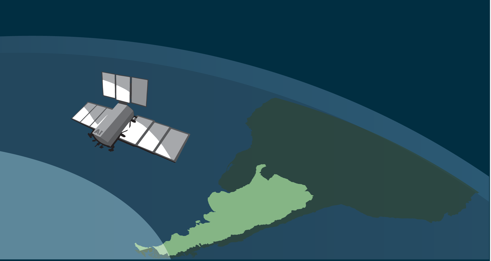
The SAOCOM-1 satellite is a key component of Argentina’s space program, equipped with advanced L-band Synthetic Aperture Radar (SAR) technology. This guide covers its development, international collaborations, and the data it provides for Earth observation. Learn how to access and utilize SAOCOM-1’s SAR data for various applications, enhancing your understanding and practical skills in satellite remote sensing.
What will you learn?
Learn about the Argentine L-band SAR satellite, SAOCOM-1, in this comprehensive guide. This course offers a deep dive into the history of Argentina’s space flight and Earth observation initiatives, the collaborative efforts with European countries, and the establishment of CONAE. You’ll explore the capabilities of the SAOCOM-1 satellite, the types of data it can acquire, and how to access this valuable information. Additionally, you’ll gain hands-on experience with SAOCOM-1 SAR data, preparing you to leverage this technology for various applications.
Learning Objectives
- The history of Argentine activities related to space flight and Earth observation finally leading to the foundation of CONAE
- The cooperation between Argentina and different European countries culminating in an first agreement between CONAE and ESA in 1997
- The SAOCOM-1 satellite and the data it can acquire
- How to get access to the SAOCOM-1 satellite SAR data
- Working with of SAOCOM-1 SAR data
Workload
Choose your own learning pace.
Depending on your existing knowledge, it will take 3-4 hours to complete.
Requirements
New to Radar in Remote Sensing?
Catch up by taking our MOOC ‘Echoes in Space’. Sign up at https://eo-college.org/courses/echoes-in-space/
This MOOC (Massive Open Online Course) will give you a detailed insight into the history of Radar technology. Then you will learn all the basics that are needed to understand how electromagnetic waves work. You will get an insight in the fascinating technology that is Radar Remote Sensing from space. Furthermore, you will get a unique hands-on experience to work with Radar data in diverse application scenarios.
Download the latest version of SNAP
For the hands-on work with SAOCOM Data we will use the ESA SNAP Software.
The Sentinel Application Platform (SNAP) is a suite of executable tools and APIs developed for the utilization, viewing, and processing of various remotely sensed data. Its functionality is accessed through the Sentinel Toolbox, which includes an intuitive desktop application for Earth Observation (EO) data visualization, analysis, and processing. The toolbox also features a set of scientific data processors that can be run from the command line or invoked by the desktop application, the command-line graph processing tool (gpt), and the data product converter tool (pconvert), which allows users to convert raw data products to BEAM-DIMAP standard format, GeoTIFF, HDF-5, or RGB images.
The software is an open-source software licensed under GNU General Public License 3 available for Windows 64 bit, MAC OS X and Unix/Linux 64 bit.
SNAP can be downloaded from here:
https://step.esa.int/main/download/snap-download/
Course Content
About Instructor
Course Includes
- 6 Lessons
- 14 Topics
- 4 Quizzes
- Course Certificate