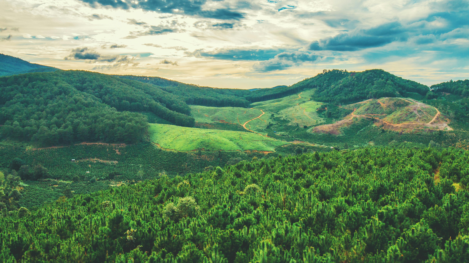
The Potential of ESA’s Upcoming P-Band SAR for Terrain Height Mapping Beneath Forest Canopy
Introduction
The European Space Agency (ESA) is advancing remote sensing with its upcoming BIOMASS mission, which employs P-band Synthetic Aperture Radar (SAR). Compared to higher-frequency radar bands like X-, C-, and L-band, P-band (centered around 435 MHz) offers unique advantages due to its longer wavelength. One of its key capabilities is the ability to penetrate dense forest canopies, enabling the mapping of terrain that is typically hidden from optical and higher-frequency radar sensors. This paper explores the significance of P-band SAR for terrain height retrieval, its applications, and the challenges associated with its implementation.
Listen to the Podcast
P-Band SAR and Canopy Penetration
P-band SAR has the ability to penetrate vegetation layers, including leaves, branches, and even trunks, depending on their density and moisture content. Due to its longer wavelength (70 cm), P-band interacts differently with forest structures compared to shorter-wavelength radar. As a result, it can capture signals reflected from the forest floor, making it highly suitable for estimating terrain height beneath dense vegetation.
A key advantage of this capability is its potential for long-term forest monitoring. By analyzing canopy and ground signals over time, researchers can track changes in forest structure, deforestation, regrowth, and disturbances such as logging, fires, and pest outbreaks. Additionally, P-band SAR provides valuable insights into carbon stock dynamics, which play a crucial role in climate change mitigation strategies.
Terrain Height Mapping and Digital Elevation Models
Accurate terrain height estimation is essential for numerous scientific and practical applications, including hydrology, geology, and land-use planning. Traditional terrain models in heavily forested regions often suffer from inaccuracies due to vegetation cover. P-band SAR, particularly when used in interferometric (InSAR) or polarimetric interferometric (PolInSAR) modes, significantly improves the precision of Digital Terrain Models (DTMs) by differentiating between canopy and ground returns.
Some of the primary benefits of improved DTMs include:
- Enhanced Flood Modeling: Accurate topographic information enables better prediction of flood-prone areas, particularly in tropical and boreal forest regions.
- Geological and Tectonic Studies: P-band SAR contributes to the mapping of fault lines, volcanic formations, and subsurface structures, which are often obscured by dense vegetation.
- Infrastructure Development: Reliable terrain models support the planning of roads, pipelines, and urban expansion in forested areas, minimizing environmental impact and construction risks.
Applications and Scientific Relevance
The deep penetration capabilities of P-band SAR make it invaluable for a wide range of applications:
- Forest Biomass and Carbon Estimation: While the BIOMASS mission is primarily focused on measuring forest biomass, it also provides crucial terrain data for ecosystem modeling.
- Hydrology and Erosion Studies: Understanding elevation changes beneath forest canopies supports watershed analysis and soil erosion assessments.
- Archaeology and Hidden Landscapes: P-band SAR can reveal ancient settlements, roads, and other structures hidden beneath dense vegetation, offering new opportunities for archaeological research.
- Disaster Response and Climate Monitoring: Accurate terrain height data is critical for assessing landslide risks, monitoring changes in forest structure after extreme weather events, and evaluating long-term climate trends.
- Agricultural and Soil Studies: Terrain elevation models derived from P-band SAR assist in assessing soil properties, improving agricultural productivity, and managing land-use planning.
Challenges and Technical Considerations
Despite its advantages, the use of P-band SAR presents several challenges:
- Ionospheric Distortions: P-band signals are more susceptible to ionospheric effects, which can introduce phase errors in the data. Advanced correction techniques are necessary to mitigate these distortions.
- Regulatory Constraints: P-band frequencies are subject to strict international regulations due to their proximity to protected communication bands, limiting their widespread adoption.
- Processing Complexity: Extracting accurate ground elevation from P-band SAR requires sophisticated PolInSAR and tomographic processing methods, which demand significant computational resources and expertise.
Future Developments and Integration with Other Technologies
As demand for high-precision terrain mapping continues to grow, P-band SAR is likely to be complemented by other remote sensing technologies. Future missions may integrate P-band with:
- LiDAR (Light Detection and Ranging): The combination of LiDAR’s high-resolution canopy penetration with P-band SAR’s deep ground penetration could lead to even more accurate terrain models.
- Machine Learning for Automated Processing: Artificial intelligence and advanced data fusion techniques could streamline the processing of P-band SAR data, making terrain height retrieval more efficient and accessible.
- Multi-Frequency SAR Approaches: Incorporating data from multiple radar frequencies (e.g., L- and P-band) could further improve forest characterization and terrain modeling accuracy.
Conclusion
The ESA BIOMASS mission, equipped with P-band SAR, represents a major step forward in remote sensing for terrain height estimation under dense vegetation. Its ability to penetrate forest canopies and retrieve ground elevation data has profound implications for forestry, hydrology, archaeology, disaster management, and climate science. While challenges such as ionospheric distortions and regulatory constraints exist, advancements in processing techniques and sensor integration are expected to enhance the effectiveness of P-band SAR applications.
As remote sensing technology continues to evolve, P-band SAR is poised to become a fundamental tool for understanding hidden landscapes and supporting global environmental monitoring efforts. Future research and technological innovations will further refine its capabilities, solidifying its role in the next generation of Earth observation systems.
Expand Your Knowledge – Dive Deeper
Further Reading
- Xu, Y., Lu, Z., & Kim, J. W. (2021). P-Band InSAR for geohazard detection over forested terrains: Preliminary results. Remote Sensing, 13(22), 4575.
- El Hage, M., Villard, L., Ferro-Famil, L., & Polidori, L. (2024). Potential of the upcoming Biomass P-band radar mission for digital terrain modelling beneath dense tropical forests: first accuracy assessment. ISPRS Annals of the Photogrammetry, Remote Sensing and Spatial Information Sciences, 3, 125-130.
- Moreira, J., Schwäbisch, M., Wimmer, C., Rombach, M., & Mura, J. (2001, September). Surface and ground topography determination in tropical rainforest areas using airborne interferometric SAR. In Photogrammetric Week (Vol. 1, pp. 167-173). Springer-Verlag.


Responses