Listen to the Podcast
Overview
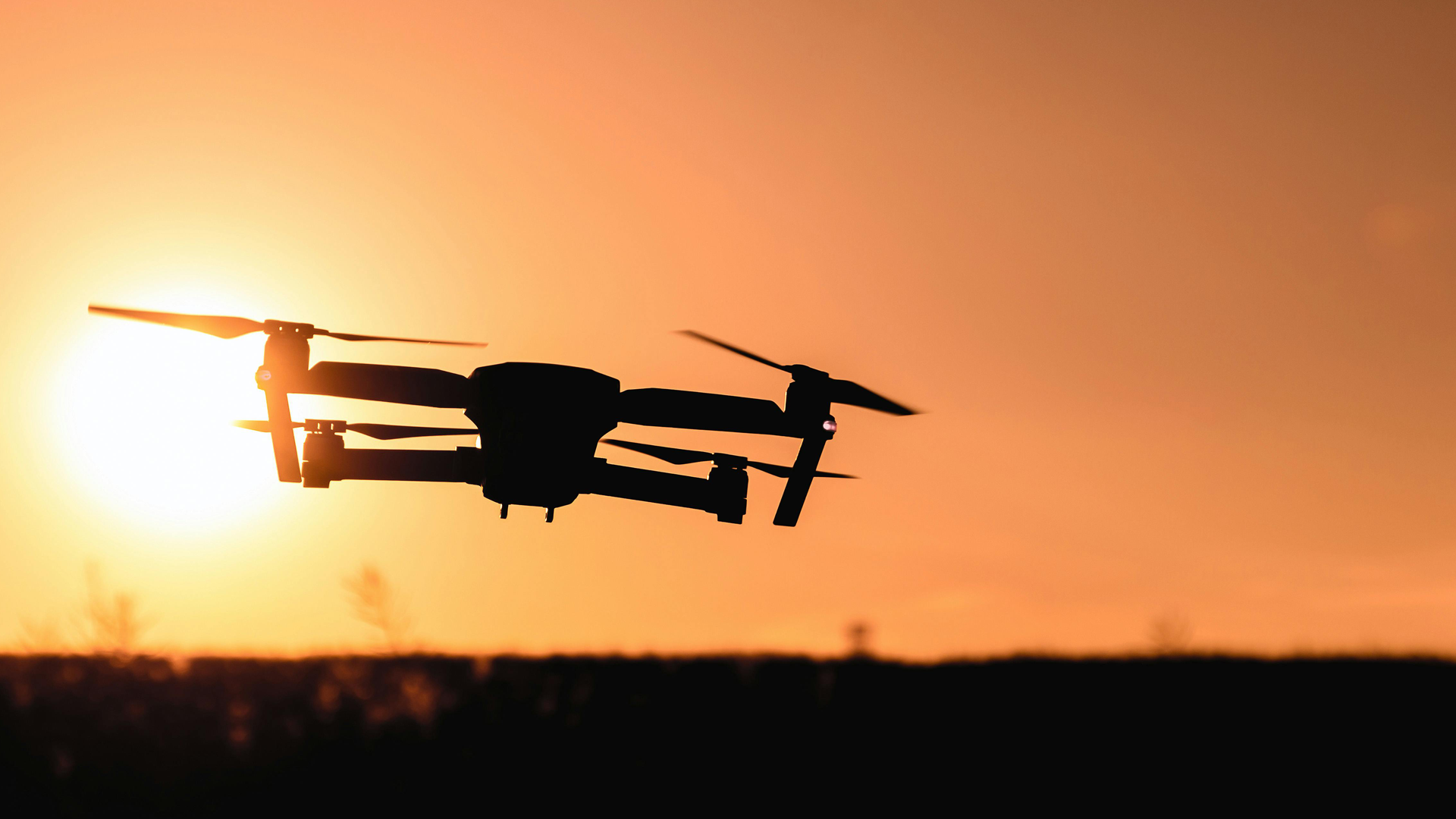
The integration of Synthetic Aperture Radar (SAR) with drones marks a transformative advancement in Earth observation and remote sensing. Traditionally, SAR systems were mounted on satellites and manned aircraft, enabling high-resolution, all-weather imaging of the Earth’s surface. However, recent innovations in sensor miniaturization, energy efficiency, and lightweight materials have made it feasible to deploy SAR instruments on unmanned aerial vehicles (UAVs), commonly known as drones. This shift has opened new avenues for scientific research, environmental monitoring, infrastructure management, disaster response, and defense applications.
While UAV-SAR platforms offer several advantages over conventional platforms, they also introduce unique technical and operational challenges. This document provides a comprehensive overview of the advantages, disadvantages, and key application areas of drone-based SAR systems.
Advantages of Drone-Based SAR Systems
1. Cost-Effectiveness
Drones are significantly less expensive to acquire, operate, and maintain than satellites or manned aircraft. UAV-SAR missions require fewer personnel and lower logistical support, making them accessible to a broader range of users, including academic institutions, governmental agencies, and private companies. Reduced operational costs encourage the execution of frequent data acquisition campaigns and long-term monitoring projects that would otherwise be cost-prohibitive.
2. High Flexibility and Rapid Deployment
UAVs can be quickly deployed to target areas with minimal preparation, making them ideal for time-sensitive missions. Their vertical takeoff and landing capabilities enable operations in remote or difficult-to-access areas. Unlike satellites, which are limited by their orbital schedules, drones offer on-demand data acquisition and customized flight paths tailored to specific user needs.
3. High-Resolution Imaging and Customization
Flying at lower altitudes allows UAV-SAR systems to capture images with extremely high spatial resolutions, often down to a few centimeters. This level of detail is essential for monitoring infrastructure, detecting surface deformation, and conducting precision agriculture. UAV missions can be optimized by adjusting sensor parameters, flight paths, and imaging geometries to meet diverse operational requirements.
4. All-Weather, Day-and-Night Operation
As active sensors, SAR instruments transmit their own microwave signals and do not rely on external illumination. UAV-SAR systems can operate under virtually all weather conditions, penetrating clouds, rain, smoke, and darkness. This makes them indispensable for continuous monitoring in regions with persistent cloud cover or limited daylight.
5. Enhanced Safety and Risk Mitigation
UAVs can perform missions in hazardous or inaccessible environments without endangering human lives. Applications include disaster response, military reconnaissance, and monitoring of hazardous industrial facilities. Automated and remote control capabilities further reduce risk by minimizing human intervention during data collection.
Challenges and Disadvantages
1. Limited Payload Capacity and Energy Constraints
Small- and medium-sized UAVs are typically constrained by their payload capacities and onboard energy supplies. SAR instruments require substantial power for transmitting signals and processing data, which limits flight endurance and sensor performance on smaller platforms. These constraints also restrict the ability to integrate additional instruments or expand mission capabilities.
2. Regulatory and Airspace Restrictions
Drone operations are subject to aviation regulations that vary by country and region. Limitations on flight altitude, range, and Beyond-Visual-Line-of-Sight (BVLOS) operations can restrict UAV-SAR deployment. Securing special permits for operations in controlled airspace or near populated areas often involves complex legal and administrative procedures.
3. Short Range and Limited Endurance
Battery-powered UAVs generally offer flight times ranging from 30 minutes to several hours. This limits the area that can be surveyed in a single mission, particularly for large-scale mapping or long-range reconnaissance. Although hybrid propulsion systems and high-capacity batteries are under development, endurance remains a primary challenge.
4. Large Data Volumes and Processing Requirements
High-resolution SAR imaging produces large volumes of raw data that require extensive processing. UAVs need robust onboard storage or reliable data transmission systems. Ground processing infrastructure must support computationally intensive tasks, such as interferometric SAR (InSAR), polarimetric analysis, and motion compensation, all of which demand considerable processing power and expertise.
5. Positional Accuracy and Motion Compensation
Operating within the lower atmosphere, UAVs are subject to wind-induced roll, pitch, and yaw movements that can introduce geometric distortions and positional inaccuracies in SAR imagery. High-precision Global Navigation Satellite Systems (GNSS) and Inertial Navigation Systems (INS) are essential for accurate geolocation and motion compensation. Even with these systems, maintaining sub-centimeter positional accuracy remains an engineering challenge, particularly for applications like InSAR ground deformation monitoring.
Key Application Areas
1. Disaster Management and Emergency Response
UAV-SAR platforms provide rapid situational awareness following natural disasters, including earthquakes, hurricanes, floods, and landslides. They enable timely damage assessments by capturing high-resolution imagery through clouds and debris. Repeated flights allow for monitoring dynamic conditions, supporting search and rescue operations, and informing relief efforts.
2. Infrastructure Monitoring and Maintenance
Critical infrastructure assets—such as bridges, highways, pipelines, railways, and dams—benefit from regular UAV-SAR inspections. Interferometric techniques detect minute deformations and structural displacements at millimeter-scale precision. Early identification of vulnerabilities enables preventative maintenance, reducing repair costs and enhancing safety.
3. Agricultural Monitoring and Resource Management
Precision agriculture increasingly relies on UAV-SAR systems to monitor soil moisture levels, crop health, and biomass estimates. SAR’s ability to penetrate vegetation and soil provides consistent data under various environmental conditions. These insights support optimized irrigation, fertilization strategies, and yield prediction, contributing to sustainable agricultural practices.
4. Environmental Monitoring and Climate Research
UAV-SAR systems play a pivotal role in tracking environmental changes over time. Applications include glacier and ice sheet monitoring, wetland mapping, forest biomass estimation, and coastal erosion assessments. Time-series analysis of SAR data facilitates long-term environmental studies and supports climate change research initiatives.
5. Defense, Security, and Surveillance
Military and security applications leverage UAV-SAR’s ability to conduct reconnaissance, border patrol, and surveillance missions under diverse environmental conditions. SAR imaging penetrates foliage and camouflage, enabling detection of concealed objects and activities. UAVs provide persistent, discreet monitoring capabilities that are essential for modern defense operations.
6. Urban Mapping and Geohazard Monitoring
Urban areas are increasingly affected by geohazards such as land subsidence, sinkholes, and building settlement. UAV-SAR equipped with InSAR techniques offers frequent, high-resolution monitoring of urban infrastructure stability. These data are vital for urban planning, construction management, and early warning systems.
7. Scientific Research and Technological Development
UAV-SAR platforms serve as experimental testbeds for developing advanced SAR imaging techniques, including fully polarimetric SAR (PolSAR), compact polarimetry, and multi-frequency systems. Researchers use these platforms to refine radar system designs, improve processing algorithms, and expand the capabilities of radar remote sensing.
Conclusion
The fusion of Synthetic Aperture Radar technology with unmanned aerial vehicles represents a major step forward in remote sensing. UAV-SAR systems combine the strengths of high-resolution imaging, operational flexibility, and all-weather, day-and-night data acquisition. These platforms have demonstrated their value across diverse fields, from disaster response and infrastructure monitoring to agriculture and scientific research.
Despite challenges related to payload limitations, regulatory restrictions, flight endurance, and positional accuracy, ongoing technological advancements continue to improve UAV-SAR capabilities. As these platforms become more reliable and accessible, they are poised to play a crucial role in supporting sustainable development, enhancing disaster resilience, and advancing scientific understanding of the Earth system.
Further Reading
- Bimber, O., Kurmi, I., & Schedl, D. C. (2019). Synthetic aperture imaging with drones. IEEE computer graphics and applications, 39(3), 8-15.
- Engel, M., Heinzel, A., Schreiber, E., Dill, S., & Peichl, M. (2021, March). Recent results of a UAV-based Synthetic Aperture Radar for remote sensing applications. In EUSAR 2021; 13th European Conference on Synthetic Aperture Radar (pp. 1-5). VDE.
- Sun, J., Yuan, G., Song, L., & Zhang, H. (2024). Unmanned Aerial Vehicles (UAVs) in Landslide Investigation and Monitoring: A Review. Drones, 8(1), 30.
Responses