Introduction
Listen to the Podcast
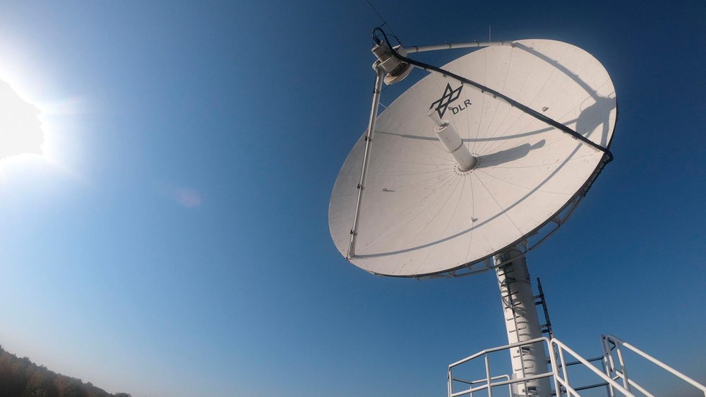
The High Resolution Wide Swath (HRWS) mission represents a key milestone in the advancement of Germany’s satellite-based radar technology. This mission continues the legacy of Germany’s highly successful X-band Synthetic Aperture Radar (SAR) missions, TerraSAR-X and TanDEM-X, and responds to the growing demand for high-resolution Earth observation data across scientific, institutional, and commercial sectors. HRWS is designed to address existing data gaps in high-resolution radar remote sensing and to secure Germany’s leadership in X-band SAR capabilities well beyond 2030. Officially approved in December 2020, the launch is scheduled for the 2026/2027 timeframe
Background and Mission Objectives
Since the early 1980s, Germany has been a pioneer in spaceborne SAR missions. Following successful cooperation with NASA on SIR-C/X-SAR and the independent Shuttle Radar Topography Mission (SRTM), Germany launched the TerraSAR-X satellite in 2007 and its twin, TanDEM-X, in 2010. These missions laid the groundwork for precise Digital Elevation Models (DEMs) and high-resolution radar imaging of the Earth’s surface. HRWS builds on this legacy by pushing technological boundaries even further.
The primary objectives of HRWS are:
- To provide SAR data with extremely high geometric resolution (down to 25 cm) and wide-area coverage.
- To guarantee continuity of X-band radar data and reinforce Germany’s independent Earth observation capabilities.
- To demonstrate and operationalize innovative technologies such as MirrorSAR, F-SCAN, and Digital Beamforming (DBF).
- To operate in both monostatic and multistatic configurations, offering flexibility to meet diverse user needs.
- To deliver high-resolution DEMs and specialized products for infrastructure monitoring, security applications, and environmental observation.
Mission Concept and Space Segment
The HRWS constellation features an innovative and highly flexible space segment, designed for efficiency and adaptability:
- A primary satellite equipped with an advanced phased-array radar system, acting as the active illuminator.
- Three smaller passive companion satellites flying approximately 15 km ahead of the main satellite. These “MirrorSatellites” enable the first in-space implementation of the MirrorSAR concept.
This multi-satellite configuration offers several operational advantages, including increased imaging frequency, flexible constellation adjustments, and significant cost reductions. The passive design of the companion satellites reduces their mass, power consumption, and complexity, simplifying their development and deployment. High-precision phase synchronization between satellites is achieved via dedicated inter-satellite communications links.
Key Technologies
- Digital Beamforming (DBF): Provides dynamic control of the antenna beam, allowing both high-resolution detail imaging and broad-area coverage. The Multiple Aperture Phase Centers (MAPS) approach is used to maintain data rates and optimize image quality.
- F-SCAN (Frequency Scanning): An analog technique that efficiently steers the radar beam in elevation, enabling high-performance illumination of wide swaths with excellent signal quality.
- Hybrid Agility: Combines mechanical agility through Control Moment Gyroscopes (CMG) with electronic beam steering. This enables rapid targeting and supports HRWS’s Theatre Mode, which can acquire multiple high-resolution scenes (up to eight areas of 7.5 km x 7.5 km each) within a 100 km x 100 km region in a single pass.
Imaging Modes and Performance
HRWS offers a diverse range of imaging modes tailored to different observation needs:
- Staring Spotlight: Achieves 25 cm resolution over an area of 10 km x 10 km in single-polarization mode.
- Sliding Spotlight: Provides extended scene sizes up to 25 km x 25 km while maintaining 25 cm resolution. Quad-polarization is also available.
- Stripmap Mode: Offers flexible resolutions between 1 m and 3 m, covering swath widths of 50 km to 80 km.
- ScanSAR Mode: Supports large-area monitoring with swath widths of up to 500 km, ideal for maritime surveillance and broad environmental assessments.
The Theatre Mode is a standout capability, enabling the efficient acquisition of multiple high-resolution scenes in a single pass. This makes HRWS a valuable tool for surveillance, security, and emergency response applications.
Applications and User Communities
HRWS addresses the needs of a wide range of national and international users, including:
- Surface Motion Monitoring: Enables millimeter-scale detection of ground movements, supporting critical infrastructure surveillance, early warning systems, and risk management.
- Digital Elevation Models (DEMs): Produces global, regional, and local DEM products with 4 m spatial resolution and 2 m relative vertical accuracy. These datasets are essential for urban planning, disaster management, and geoscientific research.
- Maritime Surveillance: Provides near-real-time monitoring of ship traffic, oil spills, and sea ice. HRWS’s high revisit rate and large coverage area make it ideal for maritime safety and environmental protection.
- Change Detection and Geo-Intelligence: Supports 3D and 4D change detection to monitor dynamic landscape transformations, such as in mining operations, urban development, and coastal zones. SAR tomography and Ground Moving Target Indication (GMTI) enhance security and defense applications.
Strategic Importance and Outlook
HRWS is a strategic asset for maintaining Germany’s sovereignty in spaceborne Earth observation. It complements international initiatives such as Copernicus and offers a national alternative to foreign systems. In addition to its scientific and institutional benefits, HRWS opens up new commercial opportunities through data and information services.
The mission’s innovative technologies, modular system design, and high adaptability make HRWS a flagship project in space technology. With its planned launch in 2026/2027, HRWS is set to usher in a new era of high-resolution radar remote sensing from space.
Expand Your Knowledge – Dive Deeper
Further Reading
- Janoth, J., Jochum, M., Petrat, L., & Knigge, T. (2019, July). High resolution wide swath–the next generation X-band mission. In IGARSS 2019-2019 IEEE International Geoscience and Remote Sensing Symposium (pp. 3535-3537). IEEE.
- Fischer, C., Heer, C., & Werninghaus, R. (2010, June). Development of a high-resolution wide-swath SAR demonstrator. In 8th European Conference on Synthetic Aperture Radar (pp. 1-4). VDE.
- HRWS
Responses