
Where to search for data
Earth observation data access is not limited to a single platform or a single entry point. What follows is a non-exhaustive list of some well-known Earth observation data catalogues usually based around the original agency providing the data:
- EarthData Search: A comprehensive data discovery and access tool provided by NASA’s Earth Observing System Data and Information System (EOSDIS). Contains wide range of NASA’s Earth science data.
- Copernicus Data Space: Currently in development platform aiming to provide immediate access to large amounts of open and free Earth observation data and scalable interfaces including both new and historical Sentinel images, commercial datasets, as well as Copernicus Contributing Missions.
- USGS Earth Explorer: EarthExplorer (EE) provides online search, browse display, metadata export, and data download for earth science data from the archives of the U.S. Geological Survey (USGS). Usually of largest demand are data from the Landsat missions.
- Open Science Catalog: A catalog of publicly available geoscience products, datasets and resources developed in the frame of scientific research Projects funded by ESA EO. Queriable by themes, projects, variables and products.
- NCEI Catalog: NOAA’s National Centers for Environmental Information (NCEI) provides access to various environmental data, including satellite imagery, climate data, and other geospatial datasets. In particular it is composed of oceanic, atmospheric, and geophysical data.
- STAC Index: A list of publicly available STAC APIs and Static Catalogs.
The content above shows the data collections available with the openEO API at the Copernicus Data Space Ecosystem (CDSE). You can scroll and click on the names to discover more details. Open content in a new tab!
How to search for data
Large EO data portals usually allow two main different ways of access based on the technical proficiency of the target user group. User can either use graphical user interface of selected portal or use one the available APIs for search. Bellow are examples of way how to search for your data.
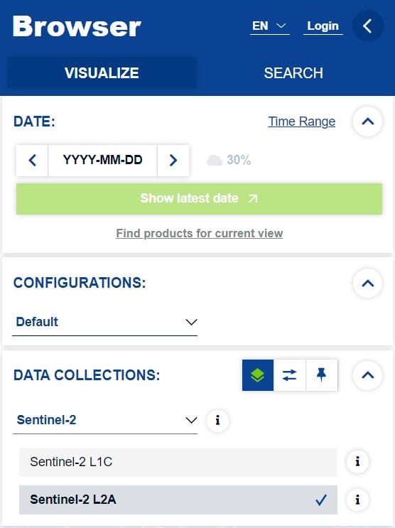
Web Browser Catalogue client
Many large portals provide a easy-to-use search and filtering GUI, which under the hood uses one of the provided catalog APIs. This allows less experienced users to perform queries usually for smaller subset of data with the help of an attached Web map client to orient themselves easily.
API access
For batch operations or script access to the catalogs, it is envisioned that direct approach of the API is performed instead. This removes the need for direct user interaction to the web platform and can be used from user provided scripts or other programs and CLI tools.
Fore more information about performing filtering or queries, see Data Properties.
STAC Browser
In order to access and browse any online STAC catalog or API, a rich web client application STAC Browser can be used on radiantearth.github.io/stac-browser. It does does allow a wide variety of filtering capabilities.
STAC QGIS plugin
QGIS STAC API Browser provides a simple and user-friendly approach in searching and using STAC API resources in QGIS. It offers a comfortable way to filter and browse the STAC API items and ability to add the STAC API assets as map layers into the QGIS.
QGIS MetaSearch Catalog Client
MetaSearch is a QGIS plugin to interact with metadata catalog services, supporting both the OGC API – Records and OGC Catalog Service for the Web (CSW) standards.
OWSLib
OWSLib is a Python package for client programming with Open Geospatial Consortium (OGC) web service (hence OWS) interface standards, and their related content models. The OWSLib client offers support for OGC CSW, OGC API – Records and OpenSearch based catalog services.
PySTAC client
The STAC Python Client (pystac_client) is a Python package for working with STAC Catalogs and APIs that conform to the STAC and STAC API specs in a seamless way. PySTAC Client builds upon PySTAC through higher-level functionality and ability to leverage STAC API search endpoints.
Video produced by Qiusheng Wu (opengeos/leafmap#347 (comment))