
Explore below a few examples of the available vegetation products:
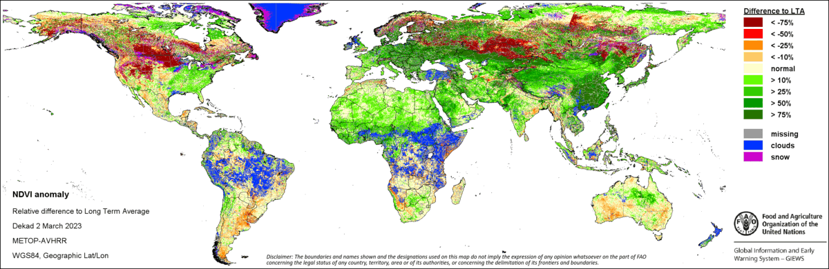
Global Indicators of FAO
Vegetation indicators (NDVI anomaly, VCI, and VHI) detect potential drought and monitor areas of stressed vegetation. All three vegetation indicators are based on 10-day vegetation data from the METOP-AVHRR sensor at 1 km resolution (2007 and after).
For more details and interactive maps visit the FAO – GIEWS site here.
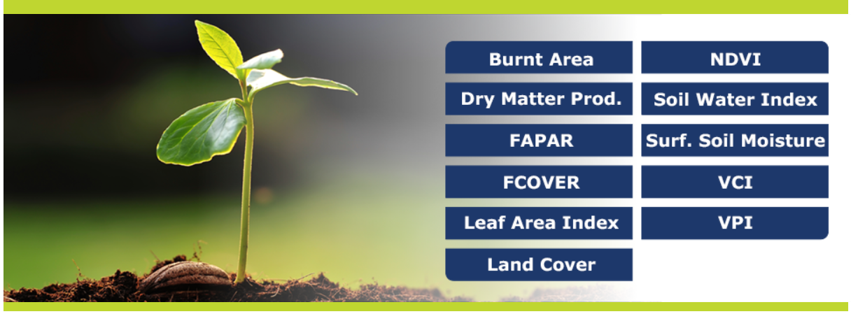
Copernicus Global Land Service (CLMS)
CLMS routinely generates several indices at different details to monitor the dynamics of vegetation. These routinely generated products are fit for purpose for different applications and suitable for various levels of expertise and needs.
Check out Copernicus Land Monitoring Service vegetation products here.
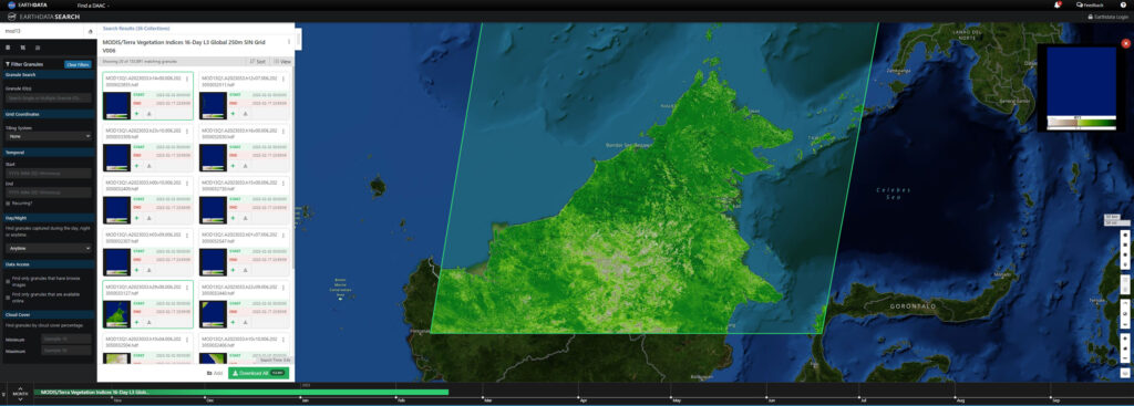
NASA – Earthdata
NASA satellite-based remote sensing data complements field data with environmental variables such as temperature and precipitation for species distribution and habitat suitability; vegetative data such as canopy height, forest structure, and evaporative stress; human impacts on biological diversity, such as deforestation or nighttime lights on predator/prey interactions; and spectroscopy information for direct detection of species.
For more details visit EarthData: Biological Diversity and Ecological Forecasting Data Pathfinder.
Sinergise – Sentinel Hub
Sentinel Hub is a cloud-based platform that provides easy access to satellite imagery from multiple sources, including Sentinel-2, Landsat-8, and MODIS.
Check out the EO browser showcasing Sentinel Hub functionality
